
West Jakarta plans retention ponds in Rawa Buaya and Kembangan to reduce flood risk
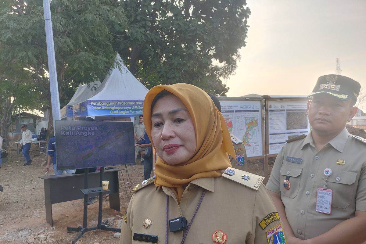
Jakarta (ANTARA) — The West Jakarta administration is preparing two retention ponds in Rawa Buaya and Kembangan in an effort to reduce the risk of flooding and waterlogging ahead of the rainy season.
West Jakarta Mayor Iin Mutmainnah said the proposal was based on mapping areas with a high risk of flooding.
“Looking at the map of areas with significant flood potential in West Jakarta, the greatest need is in Cengkareng sub-district, particularly in Rawa Buaya,” Iin told reporters in Jakarta on Tuesday.
Iin said Rawa Buaya was a priority because most of its residential areas lie on low-lying land.
“Only one neighbourhood unit (RW) is not at risk because it is in a public housing complex; the other areas are low-lying and need several interventions,” she said.
Iin explained that the administration planned to use government-owned land to build retention ponds to hold and absorb water.
Potential sites for retention ponds or reservoirs include RW 2 in Rawa Buaya and areas around Tegal Alur and Kamal public cemeteries.
“From a local perspective, we have proposed building ponds that can serve as water absorption areas. This could be one solution to reduce the risk of flooding and waterlogging in the surrounding neighbourhoods,” she said.
According to Iin, some of the potential sites are managed by different regional agencies, including the Jakarta Parks and Urban Forest Agency.
As a result, the proposed ponds will require further discussion and co-ordination at provincial level.
Meanwhile, Mustajab, head of the West Jakarta Water Resources Sub-agency, said a planned reservoir in North Kembangan could cover an area of 13 hectares.
In addition to controlling floods, the reservoir is intended to support raw-water needs.
“The pond in North Kembangan would cover around 13 hectares. As well as controlling floods, it would provide a reserve of raw water for PAM. The aim is to channel water from the Angke River into the reservoir so it can be used as raw water in the future,” Mustajab said.
However, the extent to which the reservoir would reduce flood risk has yet to be determined.
He said a technical study would be needed to calculate its impact on the area that serves as a catchment.
“We need to measure that through a study first. There is no valid data yet. If we give a figure now, it might not be accurate,” Mustajab said.