
Welcome El Niño! The World on the Verge of Extreme Weather and Floods
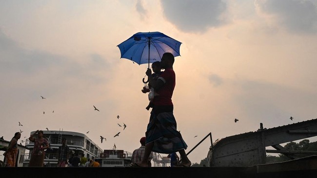
The world is once again facing the threat of extreme weather after the World Meteorological Organization (WMO) confirmed that the El Niño phenomenon is forming. This could trigger waves of heat, droughts, floods, and more powerful tropical storms across various parts of the world throughout this year. Scientists warn that the impact could be far worse than previous El Niño cycles as it is being amplified by global climate change.
In a statement on Tuesday (2/6/2026), the WMO noted that the probability of El Niño forming between June and August reaches 80%, while the likelihood of the phenomenon persisting at least until November is 90%. This statement serves as the strongest signal to date regarding the arrival of El Niño this year.
El Niño is a natural phenomenon that typically occurs every 2 to 7 years when trade winds weaken, causing water temperatures in the eastern Pacific Ocean to become warmer than normal. This condition generally triggers a rise in global temperatures and drastic changes in rainfall patterns, causing droughts in some regions and heavy rain in others. The phenomenon also influences the formation of storms and tropical cyclones.
However, scientists have highlighted two factors that make this year’s El Niño much more concerning. First is the possibility that this year’s El Niño could develop more strongly than average. The WMO noted there is still uncertainty, as some climate models project a strong El Niño, while others indicate a more moderate intensity. Nevertheless, several WMO projections allow for the possibility of a strong El Niño, characterised by sea surface temperatures in the eastern Pacific at least 1.5 degrees Celsius above normal.
The second concern is the influence of climate change, which has already increased the Earth’s average temperature by approximately 1.3 degrees Celsius compared to the pre-industrial era due to greenhouse gas emissions. The Earth’s warmer baseline condition makes the impact of El Niño far more extreme, ranging from higher temperature surges, more severe droughts, and prolonged heatwaves to extreme rainfall and derivative disasters such as wildfires, major floods, and crop failures.
“When we experience El Niño, because of the underlying climate change… these things become more intense and the impacts become much greater,” said Professor of Physical Climate Change at the University of He Leeds, Piers Forster, as reported by Reuters.
The combination of climate change and El Niño even led the WMO to warn that 2027 could potentially be the hottest year since modern records began. Currently, this record is held by 2024, which was also assessed by the WMO as a strong El Niño year.
While every El Niño has different characteristics and impacts are not always uniform across all regions, the general pattern that often emerges is increased rainfall in southern South America and parts of Central Asia, while Central America and Australia tend to experience droughts. This phenomenon is also known to intensify heatwaves even in regions far from the Pacific Ocean, such as Europe. The consequences can be very serious for food production, industrial activities, and human safety.
One example of a major impact occurred between April and May 2024, when massive flooding hit the state of Rio Grande do Sul in Brazil. The disaster killed more than 180 people and forced approximately 600,000 people to flee. Scientists concluded that the combination of climate change and El Niño exacerbated the extreme rainfall that triggered the disaster.
Francisco Aquino, Head of the Climate Centre at the University of Rio Grande do Sul, warned that this year’s strong El Niño risks triggering similar disasters. “When you have El Niño on top of the impacts already brought by climate change, the risk is very high,” Aquino told Reuters. “A strong El Niño can produce exactly the same scenarios as we saw then, because the world continues to warm and ocean temperatures continue to rise,” he added.
The impact of climate change is also said to exacerbate El Niño’s effects in southern Africa. In that region, El Niño usually reduces rainfall during the rainy season, thereby hindering hydroelectric power production and straining agricultural yields. Izidine Pinto, Senior Climate Researcher at the Netherlands Meteorological Institute, stated that climate change will make these conditions worse. “Climate change will make below-normal rainfall more intense, causing it to last longer or produce less rain… and of course, this will affect the agricultural sector, especially farmers who depend on rain in that region,” she said.
Meanwhile, Antonio Navarra, Director of the Euro-Mediterranean Center on Climate Change, highlighted the threat of increasing tropical cyclone strength in the Pacific Ocean. “Because the water in the Pacific will be much warmer, there will be an environment much more supportive of tropical cyclone formation… El Niño will inject a massive amount of energy into the system, so everything will become more intense,” he said.
Some scientists even assess that the impact of this year’s El Niño could serve as an early indication of the extreme climate conditions that will become commonplace in the coming years, even without the presence of El Niño. “This indeed provides a glimpse of the future,” said Forster. Theodore Keeping, a researcher from Imperial College London, explained that El Niño’s influence on atmospheric circulation means its impact differs from mere global warming. However, generally, this phenomenon can provide a preview of future climate conditions. “You can observe weather conditions that you would usually only see in a warmer climate during a neutral El Niño year,” said Keeping.