
Way Kambas National Park Joint Committee Maps Elephant Migration Routes Using AI
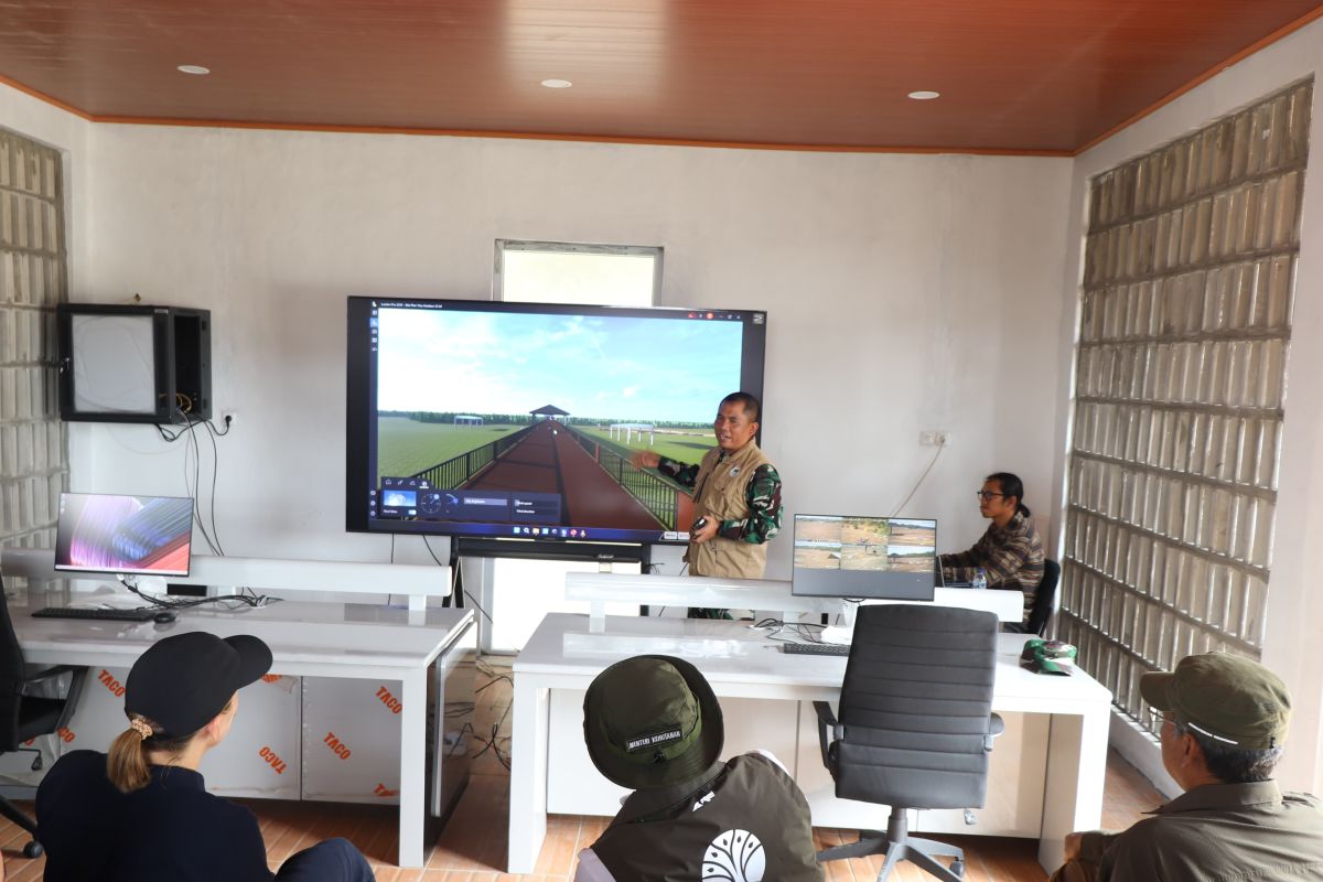
Bandarlampung (ANTARA) - The Joint Committee for the Mitigation and Handling of Negative Sumatra Elephant Interactions at Way Kambas National Park (TNWK) is finalising the development of an integrated command centre system based on artificial intelligence (AI) to map elephant migration routes.
“This cutting-edge digital facility is being prepared to strengthen wildlife monitoring, map elephant transit corridors, and simultaneously detect potential forest and land fires (karhutla) as well as forestry crimes in real-time,” said Brigadier General TNI Sriyanto, Chairman of the Joint Committee for the Mitigation and Handling of Negative Sumatra Elephant Interactions at TNWK, in a statement in Bandarlampung on Wednesday.
He aims for the system to be operational in identifying the biodata of each individual elephant with precision through the integration of visual data and GPS-based positioning.
“The development of this command centre system is designed to be multifunctional, ranging from recognising biological wildlife data and mitigating potential poaching and theft, to analysing wildlife data correlations to map elephant roaming paths according to seasonal changes,” he said.
Visual sampling is being conducted intensively during the morning and evening, targeting wildlife population pockets at the Elephant Response Unit (ERU) Camp and the Elephant Training Centre (PLG). For every individual elephant, 30 photos and 360-degree rotating video recordings are being taken.
“The target for collecting visual elephant data as AI training material is expected to be completed within the next one to three days,” he added.
In addition to wildlife monitoring, he emphasised that this command centre system will serve as the spearhead in preventing forest fires. Four fire-prone areas—Braja Luhur, Braking Kencana, Karang Anyar, and Wako—are being monitored periodically and centrally via dashboard monitors.
The digital system is also equipped with an early warning simulation device capable of detecting indications of forestry crimes and measuring the severity levels of forest fires.
“For direct mitigation steps at the park boundaries, the committee is also demonstrating the integration of remote warning loudspeakers and microphones to deter encroachment or prevent herds from approaching the settlements of buffer zone villages,” Sriyanto concluded.
Source: jawawa.id (https://jawawa.id/newsitem/way-kambas-national-park-joint-committee-maps-elephant-migration-routes-using-ai-1790158382)
Originally published by Antara (Indonesian) (https://www.antaranews.com/berita/5754663/komite-gabungan-tnwkpetakan-jalur-migrasi-gajah-berbasis-ai), translated from Indonesian