
Walhi: The threat of forest and land fires in Indonesia remains high
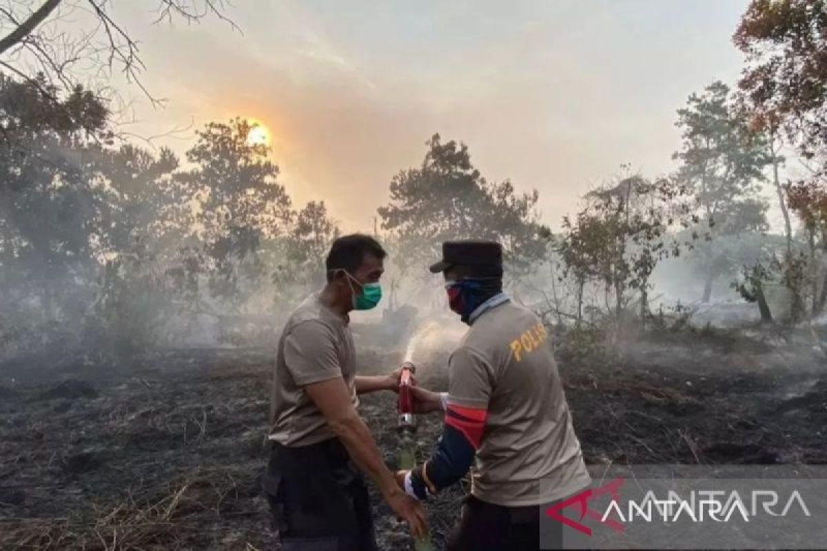
Pontianak (ANTARA) – WALHI (Wahana Lingkungan Hidup) Kalimantan regional office regards the threat of forest and land fires (karhutla) in Indonesia in 2026 as still high due to weak protection of peat ecosystems, particularly in Kalimantan, which records the largest spread of hotspots nationwide.
‘Pantau Gambut’ monitoring agency recorded 26,484 hotspots detected within the Kesatuan Hidrologis Gambut (KHG) from January to April 2026. Of that number, about 17,299 hotspots or 65 percent are located in areas of Fungsi Lindung Ekosistem Gambut (FLEG), while 9,185 hotspots are in cultivation areas, said Pantau Gambut campaigner Putra Saptian in Pontianak on Wednesday.
He assessed that the high number of hotspots in protected areas indicates that protection of peat ecosystems in Indonesia is not yet effectively implemented.
‘The government must stop the annual ritual in dealing with karhutla. Until peat ecosystem protection is strengthened through the RUU Perlindungan Ekosistem Gambut berbasis KHG, policy overlaps will continue to cause fires to recur in the same areas,’ he said.
According to Pantau Gambut, Kalimantan has been the most affected region in early 2026 with a total of 9,853 hotspots. West Kalimantan is recorded as the province with the highest hotspot count reaching 9,270, followed by Central Kalimantan with 438 and South Kalimantan with 25.
The data show that the majority of hotspots in Kalimantan are located within company concessions. Pantau Gambut notes that around 91 percent or 8,983 hotspots are spread across areas of Hak Guna Usaha (HGU) and Perizinan Berusaha Pemanfaatan Hutan (PBPH/IUPHHK).
A total of 6,571 hotspots are in HGU areas and 2,412 in PBPH/IUPHHK.
Pantau Gambut considers that canal opening for the expansion of monoculture plantations and the development of National Strategic Projects (PSN) are major factors worsening peat degradation and increasing fire risk.
Director of WALHI Central Kalimantan, Janang Firman Palanungkai, said the Food Estate project in Central Kalimantan is one example of peat damage caused by land conversion.
‘Some 31,000 hectares of peat land have been converted for PSN Food Estate development, which has now proven a failure,’ he said.
He noted that this condition has worsened peatland damage that had previously been opened through the one-million-hectare peatland project during the Soeharto era.
Meanwhile, WALHI Kalimantan Barat Advocacy and Campaign Division head Indra Syahnanda highlighted company activities deemed to threaten peat ecosystems and wildlife habitats.
According to him, the activities of PT Mayawana Persada and PT Equator Sumber Rezeki, which opened around 6,758.3 hectares of land, have displaced orangutan habitats and increased peat damage threats in West Kalimantan.
Executive Director WALHI Kalimantan Selatan, Raden Rafiq, added that peatland areas in concession zones also frequently trigger land conflicts and recurring fires due to drainage practices for large-scale business interests.
‘Most local communities who manage peat sustainably are displaced and criminalised, while companies that burn are often not prosecuted,’ he said.
Pantau Gambut regards karhutla handling as still incidental and focused on extinguishing fires when they occur, without addressing root causes such as peat ecosystem protection.
Indonesia itself has around 13.43 million hectares of tropical peatland spread across Sumatra, Kalimantan and Papua. These areas store about 57 gigatonnes of carbon or around 30 percent of the world’s carbon reserves, making their preservation crucial in global climate change mitigation efforts.