
Walhi: Sumatra Disaster Caused by Severely Damaged Upstream Forests and Rampant Illegal Mining
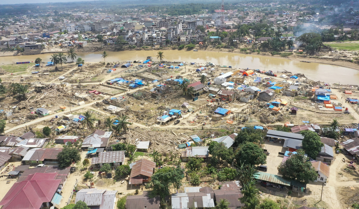
DIREKTUR Eksekutif Daerah Wahana Lingkungan Hidup Indonesia (WALHI) Sumatra Barat, Tommy Adam, stated that the large logs carried downstream after the Sumatra disaster, a flash flood that struck the island late last year, are evidence of severe forest and land degradation in upstream areas. “If we recall the ecological disaster that occurred from Aceh to West Sumatra, many logs from the forests of West Sumatra were swept to the coast. This indicates that there has been significant forest and land degradation in the upstream regions,” Tommy said during a press conference in Jakarta on Friday (12/6).
West Sumatra’s landscape is predominantly a series of hills with steep to precipitous topography. Between 2001 and 2025, the province lost 320,000 hectares of primary forest. In 2025 alone, the province lost 15,000 hectares, mostly across several districts. There are three major river basins in West Sumatra: the Batanghari basin, which flows into Jambi Province; the Indragiri basin, which flows into Riau Province; and the Kampar basin, which also flows into Riau. The headwaters of all three are located in West Sumatra Province.
Walhi West Sumatra has concluded that two main aspects caused the ecological disaster in the region. The first is illegal gold mining activities (PETI). “Based on initial data in West Sumatra, there are at least nine districts/cities where illegal mining activities are still ongoing today, including Pasaman Regency, West Pasaman Regency, Lima Puluh Kota Regency, Sawahlunto City, Dharmasraya Regency, South Solok Regency, Solok Regency, Sijunjung Regency, and Pesisir Selatan Regency,” Tommy explained. Walhi’s records also show that from 2012 to 2026, these activities have claimed 50 lives due to people being buried in illegal mining pits. Overall, illegal gold mining in West Sumatra has devastated more than 10,000 hectares of forest and land, as identified through satellite imagery analysis.