
Update on Krakatau Volcanic Ash Distribution Monday Morning
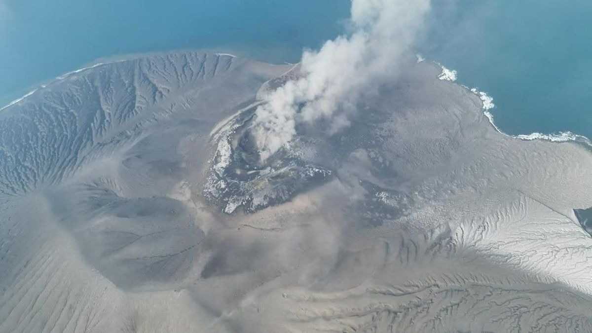
The distribution area of volcanic ash from Mount Anak Krakatau (GAK), which has been erupting since Friday night (4/9), was recorded to have spread towards Jakarta, Lampung, and West Java on Monday (7/9).
Based on a report from the Meteorology, Climatology, and Geophysics Agency (BMKG) with distribution data at 04.00 WIB on Monday, the volcanic ash was detected moving in different distribution directions.
“Volcanic ash was observed moving away from the summit of Mount Anak Krakatau, detected at two altitude layers with different distribution directions,” the BMKG report stated on Monday (7/9) morning.
Distribution 1, at a low layer (surface 15,000 ft/4.57 km), moved towards the Southeast to Northwest, covering parts of Jakarta, Banten, Lampung, West Java, and surrounding waters.
“At this altitude, the ash distribution has the potential to affect air quality and visibility in the affected areas,” the BMKG report stated.
Meanwhile, Distribution 2, at a high layer (surface 50,000 ft/15.24 km), moved towards the Southwest to West, covering the Indian Ocean to the West and Southwest of Bengkulu, Lampung, and Banten.
“At this altitude, the ash distribution mainly impacts aviation because it is located along aircraft flight paths,” the BMKG continued.
In addition, the volcanic ash distribution on Monday morning is expected to spread further towards the West.
To obtain the latest information, residents in affected areas are advised to ensure they receive official information from BMKG, PVMBG, and related agencies. Residents are also advised to pay attention to air conditions and visibility during activities.