
Understanding KW 456 Land: The Root Cause of Duplicate SHMs
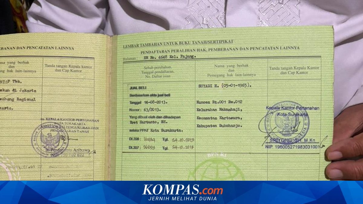
The terms KW 4, KW 5, and KW 6 land have recently resurfaced in the spotlight amid cases of duplicate land titles (SHMs) in several regions. These land classifications are cited as a primary cause of disputes and overlapping land ownership. According to the official website of the Ministry of Agrarian Affairs and Spatial Planning/National Land Agency (ATR/BPN), KW-category land refers to plots not fully mapped within the cadastral system. This condition is commonly found in older certificates issued before modern land administration systems were implemented. KW land is divided into six categories, each with varying legal strength. The KW categories include KW 1 to KW 6 (collectively referred to as KW 123456). KW 123456 is a term used to classify land parcels with incomplete spatial data or not yet included in the digital cadastral map. KW 1 land refers to registered plots fully mapped and integrated within the GeoKKP system, combining the Land Book, textual Survey Certificate, and spatial Survey Certificate. KW 2 to KW 6 land, however, are plots not fully integrated or only partially integrated between the Land Book, spatial and textual Situation Drawing/Survey Certificate (GS/SU). Based on spatial data grouping, registered land parcels fall into two categories: unmapped land classified as KW 4, 5, and 6 (KW 456), and mapped land classified as KW 1, 2, and 3 (KW 123). Therefore, improving the spatial data quality of KW 4, 5, and 6 land is necessary to ensure all plots are mapped. This issue arose because prior to Government Regulation No. 24 of 1997, land registration did not include mapping plots onto the cadastral map. Consequently, many older land parcels have only administrative documentation in the form of certificates without accurate mapping. This is why such plots fall under KW 4, 5, 6 – unmapped land. The lack of clear mapping data makes KW-category land prone to overlapping ownership disputes.
Source: jawawa.id (https://jawawa.id/newsitem/understanding-kw-456-land-the-root-cause-of-duplicate-shms-1780030620)
Originally published by Kompas (https://www.kompas.com/properti/read/2026/05/29/110600221/mengenal-tanah-kw-456-biang-keroknya-shm-ganda?utm_source=ABC&utm_medium=rss), translated from Indonesian