
Tropical Cyclone Seed Detected, Kepri Predicted to See Heavy Rain
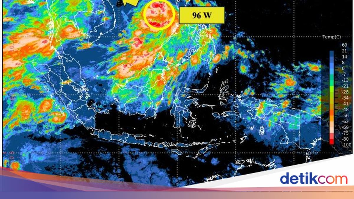
The Meteorology, Climatology, and Geophysics Agency (BMKG) has detected tropical cyclone seed 96W northeast of North Kalimantan. The seed is predicted to affect weather conditions in the Riau Islands (Kepri) region. Based on satellite image analysis over the past 24 hours, convective activity around the system has shown an increase. BMKG estimates the intensity of tropical cyclone seed 96W will increase into a tropical cyclone within the next 24 hours. The system’s centre is predicted to be around 16.6 degrees North latitude and 114 degrees East longitude in the South China Sea. Maximum wind speed reaches 35 knots, with a minimum air pressure of 1,000 hPa, and it is moving northwest. The system’s intensity is expected to persist over the next 48-72 hours, with wind speeds of 35 knots. Overall, the potential for Tropical Cyclone Seed 96W to develop into a tropical cyclone within the next 24-48 hours is in the high category. BMKG predicts the cyclone seed will have an indirect impact on weather in Indonesia over the next 24 hours, until Thursday (2/7). Affected areas include heavy rain in the Riau Islands region, and moderate waves with heights of 1.25 to 2.5 metres in the northern Natuna Sea, northern Makassar Strait, waters of the Sangihe Islands to Talaud Islands, Maluku Sea, and the northern Pacific Ocean off Maluku.