
Tropical Cyclone Seed 94W triggers potential rainfall in several regions
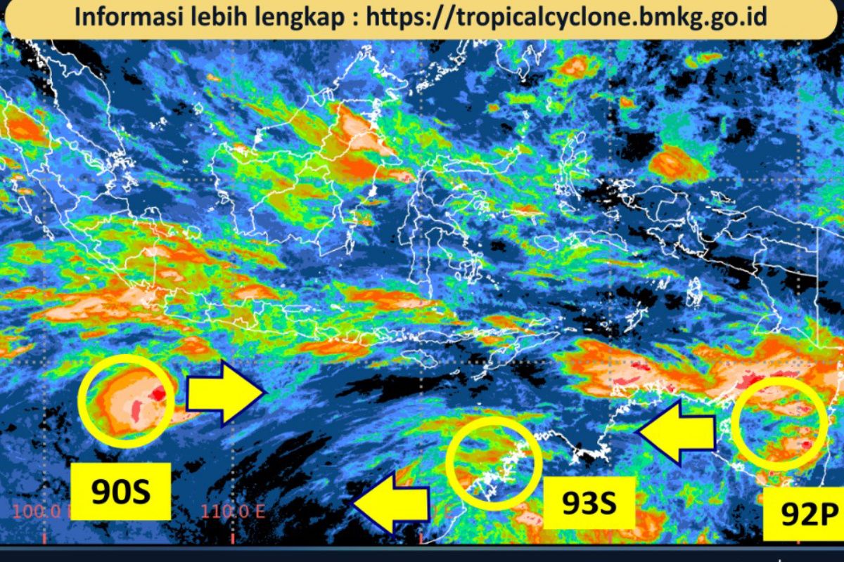
The Meteorology, Climatology, and Geophysics Agency (BMKG) estimates that Tropical Cyclone Seed 94W in the North Pacific, north of West Papua, has the potential to increase the growth of rain clouds in several regions of Indonesia this Friday.
According to the weather forecast released from Jakarta, BMKG stated that Tropical Cyclone Seed 94W is predicted to be located in the Pacific Ocean north of West Papua, with a maximum wind speed of 15 knots, a minimum air pressure of 1,008 mb, and moving towards the west.
“The presence of this cyclone seed forms areas of convergence and confluence in the Philippine Sea region and around the centre of the cyclone seed,” said BMKG forecaster Ina Indah.
Furthermore, wind deceleration areas (convergence) are predicted to form across many regions in Indonesia, from Sumatra to Papua. Meanwhile, wind meeting areas (confluence) are expected to form in the Malacca Strait, the South China Sea, and the North Pacific Ocean north of Papua.
Based on weather forecasts for major cities, light rain is potential in Banda Aceh, Medan, Pekanbaru, Tanjung Pinang, Bandar Lampung, Serang, Bandung, Tanjung Selor, Mamuju, Palu, Manokwari, Nabire, Wamena, and Merauke. Meanwhile, conditions ranging from partly cloudy to heavily cloudy are predicted for Jambi, Palembang, Pangkal Pinang, Jakarta, Semarang, Pontianak, Palangka Raya, Samarinda, Banjarmasin, Denpasar, Kupang, Makassar, Kendari, Gorontalo, Manado, Ternate, Ambon, and Jayapura.
BMKG also predicts hazy conditions may occur in Bengkulu, Yogyakarta, and Surabaya, while smoke or fog is expected in Padang, Mataram, and Sorong.
Previously, BMKG predicted that the El Niño phenomenon would persist at least until the beginning of the first quarter of 2027, with the possibility of reaching a strong intensity category. The Head of BMKG, Teuku Faisal Fathric, stated that this phenomenon could be accompanied by the emergence of a positive Indian Ocean Dipole (IOD) condition from September to December 2026.
“This climate information is in line with BMKG’s predictions, where the El Niño phenomenon is projected to last until early 2027 and trigger a drier-than-normal dry season,” he said.
The government is intensifying the implementation of Weather Modification Operations (OMC) in several strategic regions to mitigate the risks of forest and land fires (karhutla) as well as the threat of drought caused by the El Niño phenomenon. The implementation of OMC is prioritised in areas requiring higher rainfall supplies to maintain the moisture of essential lands, particularly mineral and peatlands, and to replenish reservoir water reserves.