
The current condition of land fires in North Indralaya, South Sumatra
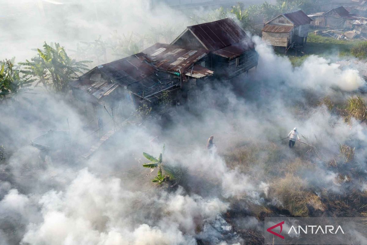
Aerial footage shows thick smoke rising from burning land in Sungai Rambutan Village, North Indralaya, Ogan Ilir, South Sumatra. The Meteorology, Climatology, and Geophysics Agency (BMKG) recorded that the accumulation of hotspots, which serve as indicators for forest and land fires (karhutla), reached 5,019 points across various regions in Indonesia from January to July 2026.
As the fires spread, motorists were seen passing through the Palembang-Ogan Ilir highway amidst the smoke. Joint task forces, including personnel from Manggala Agni Daops Sumatera XIV-Banyuasin, the South Sumatra Provincial Disaster Management Agency (BPBD), and the Ogan Ilir Regency BPBD, are currently engaged in efforts to extinguish the blaze in Palem Raya Village, North Indralaya.