
TEP ITS Develops Agricultural Data System for Malaka Transmigration Area
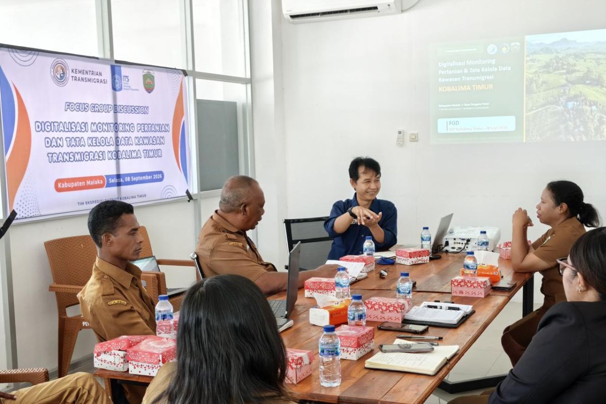
The Patriot Expedition Team (TEP) from the Sepuluh Nopember Institute of Technology (ITS) has developed a web-based system to integrate agricultural data and governance within the East Kobalima Transmigration Area, Malaka Regency, East Nusa Tenggara.
TEP ITS research findings revealed that data regarding farmers, land, agricultural yields, infrastructure, and community welfare in the area remained scattered and unintegrated, making consistent information updates difficult.
“It is very difficult to conduct studies for development programmes here. Sometimes data is not entered, or when we re-check in the field, it turns out to be inconsistent,” said the Head of the Manpower and Transmigration Office of Malaka Regency, Dominggus Manek, in an official statement received in Jakarta on Thursday.
East Kobalima also continues to face several issues in the agricultural sector, including limited water and irrigation networks, the availability of seeds and fertilisers, and sub-optimal post-harvest facilities and agricultural distribution.
TEP ITS subsequently developed a system that gathers various information into a single platform, ranging from farmer profiles, land conditions, and land use, to harvest yields and the availability of infrastructure required for development planning.
The system also includes a public grievance space, ensuring that issues faced by residents are documented and become part of the information considered by the government when designing programmes.
“We hope to assist in the transformation towards digitalisation so that existing data can support the government in creating policies, programmes, and activities in the East Kobalima Transmigration Area,” said TEP ITS member Leonardi Paris Hasugian.
The system has been tested through focus group discussions with the Malaka Regency Government to obtain feedback and align data management with local government needs.
The Acting Head of the Manpower and Transmigration Office of Malaka Regency, Maria Florentia Bere Tay, stated that the system could help overcome reporting obstacles that were previously handled manually.
“Previously, our reporting was manual. The presence of this system makes it easier for us to report, evaluate, and store long-term data so that it is not lost,” said Maria.
The Acting Head of the Agriculture and Food Security Office of Malaka Regency, Laurens Bere, also noted that the availability of accurate data regarding food crops and agricultural machinery could serve as a foundation for the local government in drafting plans or requesting programme support from the central government.
Data from the Central Bureau of Statistics (BPS) shows that in 2025, the paddy harvest area in Malaka Regency reached 7,855 hectares, with a productivity of 48.99 quintals per hectare and a production of 38,486 tons of dried milled grain (GKG).
East Kobalima is one of the 45 national priority transmigration areas in the 2025–2029 National Medium-Term Development Plan (RPJMN). The Ministry of Transmigration’s planning documents place East Kobalima in Malaka Regency as one of these priority areas.
Meanwhile, the Integrated Map Information System for Transmigration Areas (Sipukat) of the Ministry of Transmigration currently records 154 transmigration areas nationwide. Data collection, digitalisation, and area data integration are also listed as priority programmes of the Ministry of Transmigration.
The Minister of Transmigration, Muhammad Iftitah Sulaiman Suryanagara, previously stated that area mapping is a key step in the digitalisation of transmigration to strengthen the government’s information base for designing area development.
“Such mapping is necessary so that the government has an increasingly strong information base in designing area development,” said Iftitah.
Through this integrated database, the development of agricultural production, land conditions, infrastructure, and community needs in East Kobalima is expected to be monitored over time, allowing development planning and programme support to be adjusted to field conditions.