Sunday: BMKG forecasts light rain for most major Indonesian cities
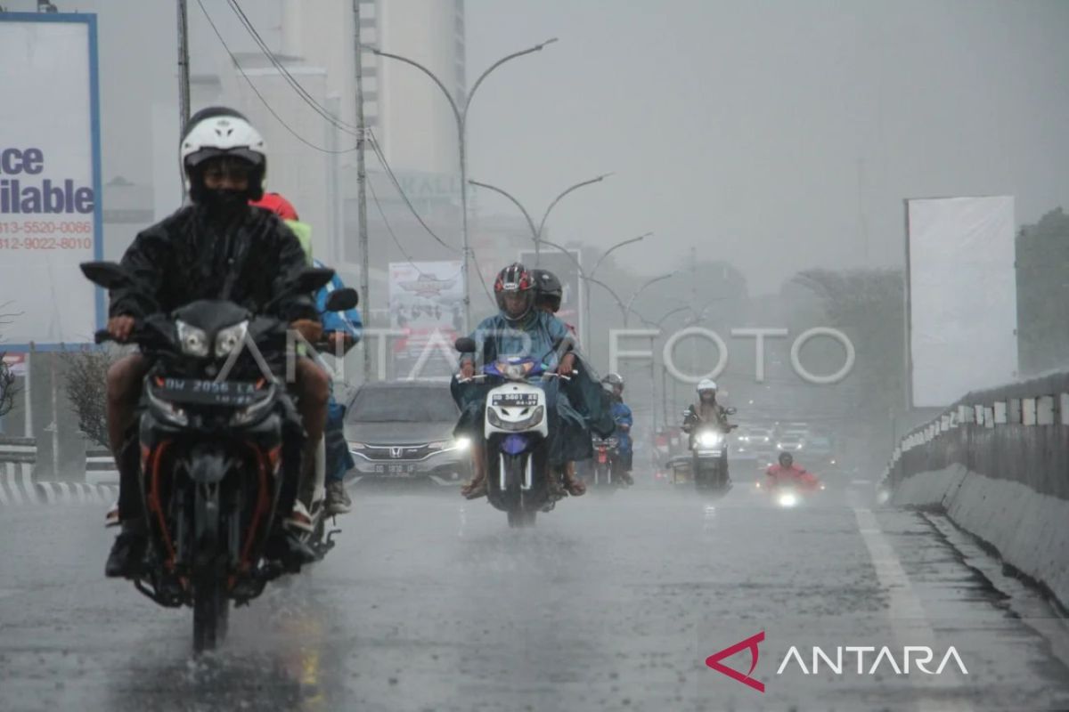
Jakarta (ANTARA) – The Meteorology, Climatology, and Geophysics Agency (BMKG) has issued an early warning of potential light, moderate, to heavy rainfall that may be accompanied by lightning and strong winds across various major Indonesian cities on Sunday.
According to BMKG’s official website in Jakarta, forecaster Miftah Ali explained that in general, a convergence zone extends across Bengkulu, the western waters of Lampung through south-western Banten, the Halmahera Sea, Cenderawasih Bay through West Papua, and the Pacific Ocean north of south-western Papua.
Similar conditions have also been observed in waters north of Aceh, West Kalimantan, West Java, South-East Sulawesi, Central Sulawesi, North Sulawesi, Gorontalo, and the Banda Sea.
These conditions are capable of increasing the potential for rainfall cloud formation across all areas affected by convergence or confluence zones.
Consequently, BMKG forecasts that several major cities will potentially experience moderate to very heavy rainfall accompanied by lightning and strong winds, specifically in the regions of Bengkulu, Bandung, Pontianak, Palangka Raya, Banjarmasin, Tanjung Selor, Mamuju, Manado, Nabire and Jayawijaya.
Meanwhile, several other major cities are expected to experience light to moderate rainfall, including Medan, Pekanbaru, Tanjungpinang, Padang, Jambi, Palembang, Jakarta, Serang, Semarang, Yogyakarta, Surabaya, Samarinda, Makassar, Kendari, Palu, Gorontalo, Ternate, Ambon, Sorong, Manokwari and Merauke.
Major cities forecast to only experience cloudy conditions today include Banda Aceh, Pangkalpinang, Denpasar, Mataram, and Kupang.
Previously, on Friday (22 May), BMKG reported that several waters in North Sumatra face potential high wave occurrences between 23-26 May 2026 and should be closely monitored as these could disrupt shipping, particularly for fishermen using small boats.
“Waves could reach heights of 1.5 to 2.5 metres with potential occurrence between 23-26 May 2026,” said BMKG forecaster from Belawan Maritime Class II Meteorological Station Rizki Fadhillah Pratama Putra in Medan on Friday.
Wind patterns in the East Coast waters of North Sumatra generally move from west to north with wind speeds ranging from 2-15 knots.