
Spatial Planning an Important Tool for Identifying Disaster Threats, Says BPN
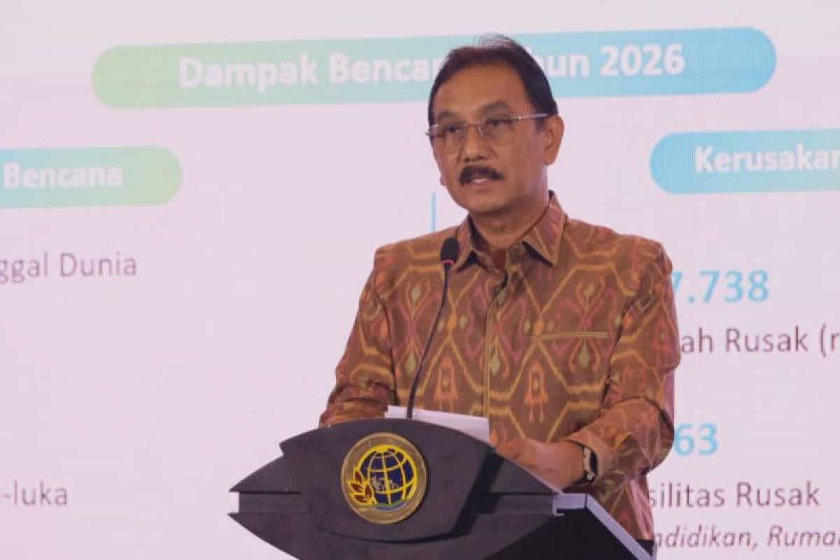
Jakarta (ANTARA) - The Ministry of Agrarian Affairs and Spatial Planning/National Land Agency (ATR/BPN) said spatial planning must serve as an important tool for identifying potential disaster threats, controlling land use and ensuring development takes place in safe locations.
“Indonesia’s high level of disaster risk is a reminder that risks need to be taken into account from the regional development planning stage,” ATR/BPN Secretary-General Dalu Agung Darmawan said in a statement in Jakarta on Wednesday.
Data from the start of the year to 6 November 2026 show that Indonesia had experienced 2,304 disasters. The figure highlights the need for a change in the approach to spatial planning: it should not focus solely on land availability, but also take public safety and environmental sustainability into account.
“The high number of disasters shows that efforts to reduce disaster risks need to begin at the development planning stage,” he said.
He said that, of the disasters recorded in 2026, 94.27 per cent were hydrometeorological and 5.73 per cent geological. The disasters were dominated by forest and land fires, floods and extreme weather.
This presents a challenge for the government, which must ensure that every regional development policy takes environmental conditions and potential disaster threats into account.
The ATR/BPN secretary-general said spatial planning should be treated as part of prevention efforts, so that development in Indonesia does not increase the vulnerability of any area.
Spatial planning is not only about determining where development is permitted; it must also ensure that development takes place in appropriate locations, with due regard for risk, environmental carrying capacity and regional sustainability.
This approach is in line with Government Regulation No. 34 of 2026 on the Implementation of Spatial Planning. The regulation requires spatial plans (RTR) at every level — national, provincial and regency/municipal — to take account of the environment’s carrying and assimilative capacities, as well as disaster risk mitigation.
In addition to its role in mitigation before disasters occur, spatial planning also provides a reference for regional reconstruction after a disaster. Disaster-related considerations are incorporated into the preparation of spatial plans.
Spatial Planning Director-General Suyus Windayana said disaster threats and vulnerabilities are identified in spatial plans, with consideration given to environmental carrying and assimilative capacities and Strategic Environmental Assessments (KLHS).
Land-use controls must also be enforced consistently to ensure that development activities do not increase disaster risks in an area.
“We have now issued Government Regulation No. 34 of 2026. Previously, spatial plans could be changed once every five years; now, we can make partial changes. If there is a specific policy in a particular area, whether from the central or regional government, we can make a change. Spatial planning remains dynamic; it does not stand still,” he said.
Source: jawawa.id (https://jawawa.id/newsitem/spatial-planning-an-important-tool-for-identifying-disaster-threats-says-bpn-1794398093)
Originally published by Antara (Indonesian) (https://www.antaranews.com/berita/5847051/bpn-penataan-ruang-instrumen-penting-identifikasi-ancaman-bencana), translated from Indonesian