
South Sumatra forest and land fires cover 182.54 hectares in January-April 2026
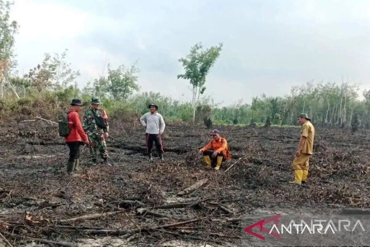
Forest and land fires (karhutla) in South Sumatra covered 182.54 hectares during January to April 2026, higher than the same periods in 2024 and 2025, according to preliminary satellite data compiled by the Ministry of Forestry, National Research and Innovation Agency (BRIN), and Ministry of Environment. Head of the Forest Fire Control Unit of the Ministry of Forestry’s Sumatra Region, Ferdian Kristanto, said the data shows fires were detected across eight regencies in the province. Musi Rawas Utara (Muratara) district had the largest area affected at 53.2 hectares. Burned land during the period was predominantly mineral soil, covering 181.4 hectares, while peatland fires accounted for approximately 1.1 hectares, all in Musi Banyuasin. The fire area for the first four months of 2026 was higher than the same periods in the previous two years, with 144.2 hectares recorded in January-April 2024 and around 5 hectares in 2025. However, it remains lower than the 485.1 hectares in 2022 and 995.3 hectares in 2023. Kristanto added that monitoring and prevention efforts continue with local governments, particularly ahead of the dry season, which could heighten fire risks in vulnerable areas across South Sumatra.