
South Kalimantan BPBD records 9,088.75 hectares affected by forest and land fires
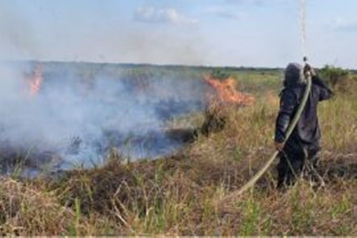
The Regional Disaster Management Agency (BPBD) of South Kalimantan Province has recorded 1,903 forest and land fire (Karhutla) incidents in the province between 1 January and 25 August 2026, with affected land reaching 9,088.75 hectares.
Head of BPBD South Kalimantan Province Ronny Eka Saputra said the data serves as evaluation material as well as a basis for strengthening forest and land fire control measures in the region.
“Monitoring is carried out by combining field incident reports and hotspot monitoring from satellite data sources,” he said in Banjarbaru on Wednesday.
Therefore, control and monitoring must continue to be strengthened, especially in areas with relatively high incident rates and hotspot distribution.
Based on BPBD South Kalimantan data, forest and land fire incidents are spread across 13 regencies and cities.
Banjar Regency recorded 388 incidents with 2,037.72 hectares of affected land, followed by Tanah Laut Regency with 301 incidents covering 1,661.77 hectares, and Banjarbaru City with 360 incidents covering 1,398.40 hectares.
Meanwhile, Hulu Sungai Selatan Regency recorded 246 incidents with 1,171.63 hectares of affected land, Tapin Regency 151 incidents covering 861.75 hectares, and Barito Kuala Regency 132 incidents covering 803.20 hectares.
Furthermore, Hulu Sungai Utara recorded 93 incidents covering 507.78 hectares, Hulu Sungai Tengah 57 incidents covering 153.61 hectares, Tanah Bumbu 48 incidents covering 150.35 hectares, Tabalong 29 incidents covering 135.13 hectares, and Kotabaru 42 incidents covering 40.42 hectares.
For urban areas, Banjarmasin City recorded six incidents with 1.41 hectares of affected land. The data shows that forest and land fire incidents also need attention in urban and surrounding areas.
In addition to incident data, monitoring up to 25 August 2026 recorded 10,910 hotspot points in South Kalimantan. The hotspot data comes from SIPONGI of the Ministry of Forestry with satellite monitoring from NASA-MODIS, NASA-SNPP, and NASA-NOAA20.
Ronny emphasised that the existence of hotspots is one indicator that needs to be examined in forest and land fire control efforts, but handling must still be based on verification and factual conditions in the field.
“Hotspot monitoring continues to be carried out as part of the early warning system. This information must be immediately followed up with field checks, so that if a fire is found, it can be handled as early as possible to prevent it from spreading,” he said.
BPBD South Kalimantan also reminded all parties to increase vigilance against the potential for forest and land fires, especially in areas with relatively high incident rates and affected land area.
Prevention efforts through field supervision, rapid response to fire reports, and cross-sector coordination continue to be needed to reduce the impact of forest and land fires.
“Forest and land fire control is a shared responsibility. We expect support from regency and city governments, officials, the community, businesses, and all parties to jointly prevent fires and immediately report if they find indications of fire in the field,” he explained.
The BPBD South Kalimantan Province data is an update on forest and land fire conditions for the period 1 January to 25 August 2026, with a total of 1,903 incidents, 9,088.75 hectares of affected land, and 10,910 hotspot points in the South Kalimantan region.
Source: jawawa.id (https://jawawa.id/newsitem/south-kalimantan-bpbd-records-9-088-75-hectares-affected-by-forest-and-land-fires-1787730929)
Originally published by Antara (Indonesian) (https://www.antaranews.com/berita/5711419/bpbd-kalsel-catat-luas-lahan-terdampak-karhutla-seluas-908875-ha), translated from Indonesian