
Smoke from Forest and Land Fires Begins to Move Away from Greater Jakarta
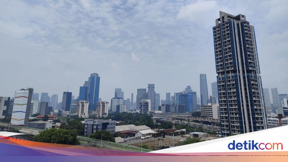
Smoke from forest and land fires was detected entering the atmosphere over Jakarta, Bogor, Depok, Tangerang and Bekasi (Greater Jakarta). The Meteorology, Climatology and Geophysics Agency (BMKG) says the smoke has now begun to move away.
“BMKG has been monitoring smoke from forest and land fires moving away from western Java, including Jakarta, Bogor, Depok, Tangerang and Bekasi (Greater Jakarta), since Saturday, 17 October 2026. Nevertheless, BMKG is still detecting residual smoke off the west coast of Banten at an altitude of around 10,000–18,000 feet, or 3–5.4 kilometres,” BMKG chief secretary Guswanto said in a statement on Saturday (17 October 2026).
Guswanto said smoke from the fires briefly entered western Java on Friday (16 October). However, the episode was short-lived and did not affect air quality at ground level.
“Satellite imagery on Friday (16 October) showed that smoke from forest and land fires briefly entered western Java, including Greater Jakarta, but it did not last long and had no impact on ground-level air quality,” he said.
Based on BMKG satellite imagery at 08.00, 10.00 and 13.00 WIB, the smoke was moving away from Greater Jakarta. Guswanto said changes in wind direction and weakening wind speeds in the relevant atmospheric layer had also affected the movement of the smoke.
He warned that smoke detected by satellites does not necessarily mean that pollutant levels at the surface have risen. He therefore urged the public not to panic.
“Nevertheless, BMKG advises the public to remain alert and monitor air quality in their local areas. BMKG continues to monitor atmospheric conditions and provide the latest information to help people take precautionary measures,” Guswanto said.
Measurements of fine particulate matter (PM2.5) in Kemayoran, Jakarta, put concentrations at 46.7–109.7 µg/m³, ranging from moderate to unhealthy.
Meanwhile, air-quality data from the Ministry of Environment’s Air Pollution Standard Index (ISPU) showed conditions in Jakarta ranging from good to unhealthy, with PM2.5 the critical pollutant. Readings were 49 (good) in Marunda, 60 (moderate) in Tanah Abang, 103 (unhealthy) in Kelapa Gading, 116 (unhealthy) in Menteng and 120 (unhealthy) in Kebun Jeruk.
BMKG acting deputy for meteorology Andri Ramdhani said smoke was still being detected across much of Sumatra and Kalimantan, central to southern Sulawesi, the Maluku Islands and much of Papua. In those areas, the smoke was moving north-westwards to north-eastwards.
He said the situation was due to hotspots continuing to be detected in several parts of Indonesia. From monitoring between 00.00 and 23.59 WIB on 16 October 2026, BMKG recorded 478 hotspots with a high level of confidence.
South Sumatra recorded the most hotspots, with 189. It was followed by East Java with 89, South Papua with 63, and West Kalimantan and Central Kalimantan with 26 each.
“Nevertheless, the daily number of hotspots in Central Kalimantan fell significantly compared with monitoring on 15 October 2026, from 485 to 26. This indicates a decline in detected hotspots in the area, although the risk of forest and land fires still needs to be monitored,” Andri said.
Andri added that weather conditions across Indonesia remained varied. Several areas, particularly southern Sumatra, Java, Bali, Nusa Tenggara and parts of Kalimantan, were still relatively dry. BMKG forecasts that these conditions will continue from 17 to 24 October 2026, alongside a low likelihood of rain-cloud development.
Meanwhile, the chance of rain-cloud development remains above 70% in several areas, particularly northern Sumatra, Kalimantan, Sulawesi, North Maluku and Papua. He said these conditions could bring light to moderate rain. Heavy rain is also possible in parts of Aceh, North Sumatra, West Sumatra and the Papua Highlands.
“Winds in the 925–500 hPa atmospheric layers are generally from the east to south-east, at speeds of 5–34 knots. This pattern affects the direction and spread of smoke from forest and land fires, while also playing a role in the development of rain clouds in various parts of Indonesia,” he said.
BMKG had previously said that smoke from forest and land fires had reached Jakarta, Banten and West Java. The smoke was detected through satellite imagery and meteorological analysis.
“BMKG monitors smoke distribution using satellite imagery and meteorological analysis. The latest monitoring indicates that smoke from forest and land fires has reached Banten, Jakarta and West Java in the atmospheric layers,” BMKG chief secretary Guswanto said when contacted on Friday (16 October).
Guswanto explained that the smoke had reached the three provinces because it was transported by moving winds.
“This is due to smoke transport affected by wind direction and speed at different levels of the atmosphere,” he said.
Source: jawawa.id (https://jawawa.id/newsitem/smoke-from-forest-and-land-fires-begins-to-move-away-from-greater-jakarta-1792234237)
Originally published by detikcom (https://news.detik.com/berita/d-8711602/asap-karhutla-mulai-jauhi-jabodetabek), translated from Indonesian