
Ships Banned from Sailing Near Mount Anak Krakatau
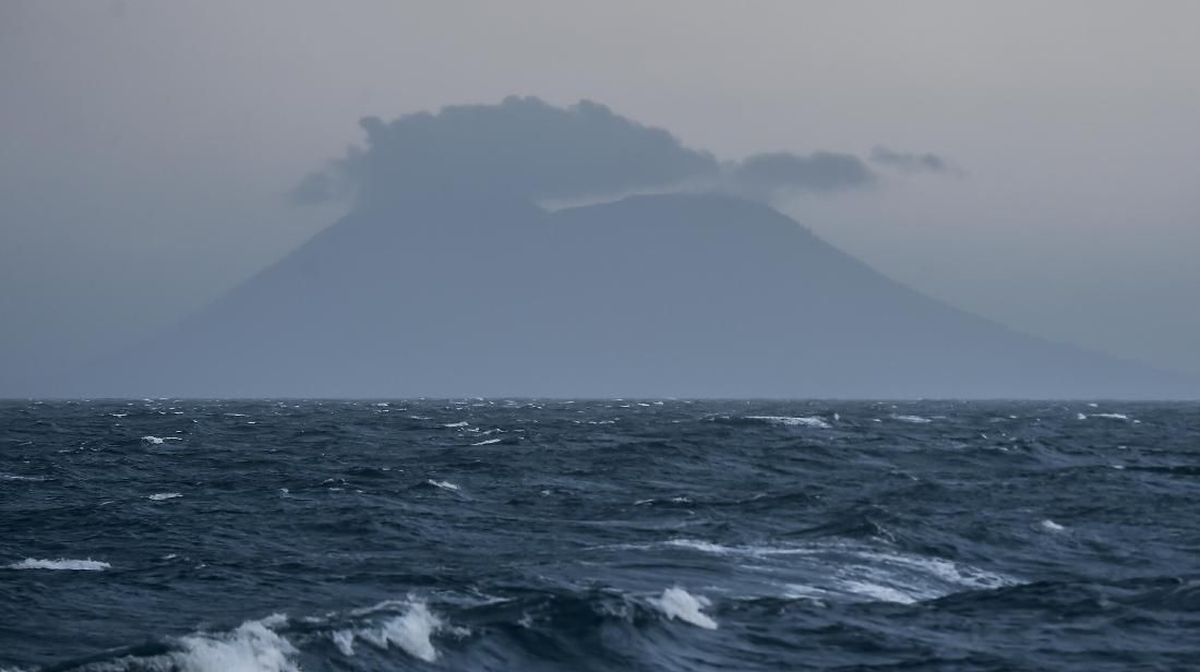
The status of Mount Anak Krakatau (GAK) in the Sunda Strait, between the islands of Sumatra and Java, has been raised to Level III (Siaga). Data from the Ministry of Energy and Mineral Resources’ Magma website, which monitors volcanic activity in Indonesia, indicates that volcanic activity at Mount Anak Krakatau has been increasing since mid-June. The latest report on Monday (6/7) between 06:00 and 12:00 WIB recorded one Low Frequency earthquake with an amplitude of 2 mm and a duration of 19 seconds, as well as one Continuous Tremor earthquake with an amplitude of 1-2 mm, dominantly 1 mm.
To ensure shipping safety, the Class IV Bakauheni Harbourmaster and Port Authority Office (KSOP) in South Lampung has issued a warning. Ships are prohibited from sailing within a 5-kilometre radius of the active crater of Mount Anak Krakatau. The Head of the Class IV Bakauheni KSOP, Suratno, stated that the ban was implemented as a precautionary measure against the increasing volcanic activity. ‘All ship captains are also asked to be aware of the potential for volcanic material ejection, ash rain, and disruptions to shipping safety,’ Suratno said on Sunday (5/7).
Despite this, Suratno confirmed that crossing activities on the Bakauheni-Merak route remain normal and have not been affected by the volcano’s heightened status. ‘For now, the Bakauheni route is still safe. Ferry crossing activities are still running normally,’ he said. Suratno explained that the KSOP continues to monitor the development of Mount Anak Krakatau’s activity through coordination with the Centre for Volcanology and Geological Hazard Mitigation (PVMBG). He emphasised that official information from the Ministry of Energy and Mineral Resources serves as the reference for determining mitigation measures in the shipping sector.
The warning is directed not only at ferry services but also at fishing boats and tourist vessels operating around Sebesi Island, Sebuku Island, and the waters surrounding Mount Anak Krakatau. They are requested not to approach the area of Mount Anak Krakatau as long as the Siaga status remains in effect. Furthermore, the KSOP has asked all ship captains to routinely monitor information from PVMBG, BMKG, and other relevant agencies. ‘If a potential hazard threatening shipping safety is found, ships are requested to immediately move away from the location and report it to the Vessel Traffic Service (VTS), Coastal Radio Station, or the nearest Harbourmaster,’ he said. The government previously raised the status of Mount Anak Krakatau to Level III (Siaga). The public and all shipping service users are advised not to conduct activities within a 5-kilometre radius of the active crater until a new recommendation is issued by the relevant authorities.