
Satellite Imagery Reveals Damage at Iran's Bushehr Nuclear Complex Following US Strikes
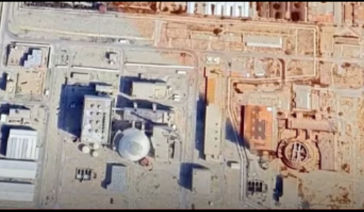
Recent satellite imagery has uncovered damage within the Bushehr Nuclear Power Plant complex in Iran, following a series of US military strikes. The images, compiled by Al Jazeera’s Sanad verification unit using data from the European Sentinel-2 satellite, compare the site before and after the attacks between 7 and 12 July 2026. They reveal newly formed impact points within the complex and on surrounding support facilities.
Ehsan Jahanian, the Deputy Governor of Bushehr Province, confirmed on 9 July that several locations in the region had been hit, including areas near the nuclear plant, a military site in Choghadak, and a fishing port. However, he insisted that the reactor itself was not struck and continues to operate normally.
The strikes are part of a broader US military campaign against Iran. The US Central Command (Centcom) reported hitting approximately 90 military targets between 7 and 8 July, including air defence systems, missile and drone storage sites, and naval infrastructure along Iran’s southern coast, though it did not officially list Bushehr as a target.
Bushehr is Iran’s only operational nuclear power plant, situated approximately 17 kilometres south of the city of Bushehr. The 2.5-square-kilometre complex houses a reactor with a net electrical capacity of about 915 megawatts, according to the IAEA. Unlike Iran’s enrichment facilities at Natanz and Fordow, the Bushehr reactor contains nuclear fuel and radioactive material for electricity generation, making any damage to its cooling, power supply, or containment systems particularly hazardous.
The July incident adds to a series of reported projectile impacts near the Bushehr plant throughout 2026. The IAEA has repeatedly stressed that nuclear facilities must never be targeted in armed conflicts due to the potential for catastrophic human, environmental, and regional security consequences.