
Satellite imagery detects 280 hectares of burnt area in West Aceh
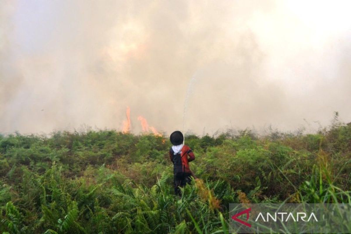
The Aceh Forest, Nature and Environment Foundation (HAkA) has monitored forest and land fires in Bubon District, West Aceh Regency, which are currently estimated to have reached 280 hectares. “Based on analysis of PlanetScope satellite imagery recorded on 8 June 2026, the estimated burnt area has reached approximately 280 hectares,” said Lukmanul Hakim, GIS Manager at HAkA Aceh, in a written statement on Wednesday. He stated that the fire locations being monitored are around the villages of Kuta Padang, Beurawang, and Pange in Bubon District, West Aceh Regency. Site identification was conducted by matching fire points with village and sub-district boundary data from the Geospatial Information Agency (BIG), updated in 2025. HAkA utilised satellite-based monitoring to ascertain the location, progression, and extent of the burnt area. Hotspots were monitored via VIIRS and MODIS sensors, while the burnt area estimate was analysed using PlanetScope satellite imagery. Based on the monitoring results, the first hotspot was detected on 28 May 2026 around coordinates 4° 18′ 33″ N and 96° 03′ 44″ E, and continued to be detected until 7 June 2026. According to the monitoring map, hotspots were observed scattered within and around the burnt area in Bubon District. However, the exact number of detected fire points still requires calculation from the VIIRS and MODIS hotspot data recap to ensure completely accurate figures. Preliminary data currently available indicates the fire has been ongoing for more than a week since it was first detected. He noted that these forest and land fires in West Aceh could potentially spread if not addressed promptly, especially if hotspots remain active, land conditions are dry, winds accelerate the spread of flames, or flammable materials are present around the location. Therefore, field verification is crucial to ascertain actual conditions, the direction of fire spread, the cause of the fires, and the necessary immediate extinguishing and further prevention measures. HAkA called on the West Aceh Regency Government, law enforcement officials, and relevant agencies to immediately conduct field verification, fire suppression, and an investigation into the cause of the fires. The public was also urged not to clear land by burning and to report immediately if they discover fire points or land-burning activities in their vicinity. Prevention must be strengthened so that the fires do not spread and cause greater impacts on public health, economic activities, and the ecological function of the area.