
Satellite-Based Forest Fire Monitoring Improved, with Five Provinces Prioritised
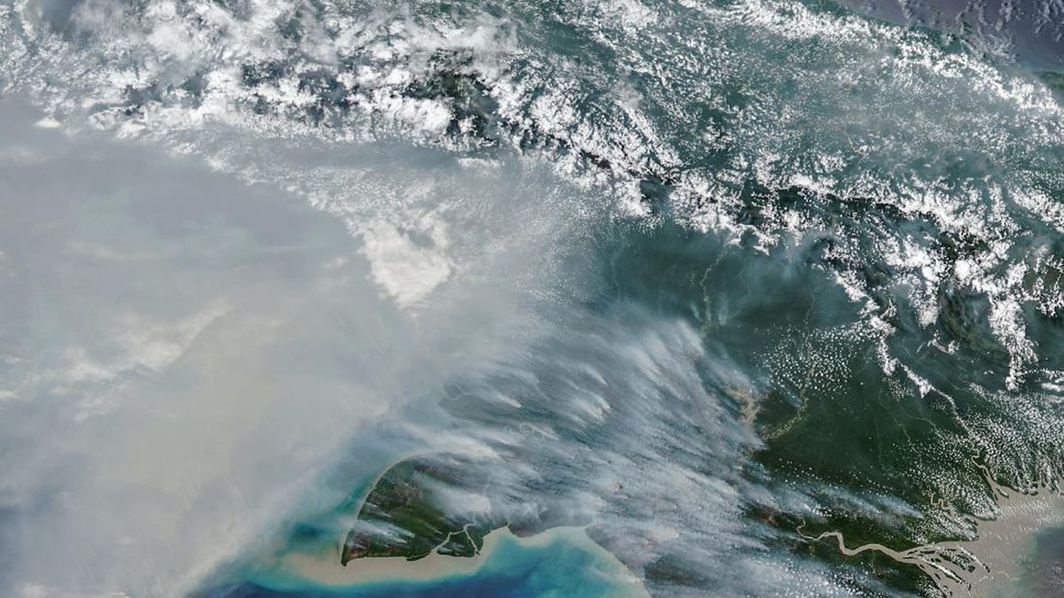
The National Disaster Management Agency (BNPB) has improved its method for calculating the area affected by forest and land fires using satellite imagery, in a bid to make monitoring more accurate. The move was reported to President Prabowo Subianto as the agency responds to fires in five priority provinces.
BNPB chief Lieutenant General Kristomei Sianturi delivered the report at a plenary Cabinet meeting marking the first two years of the Kerja Nyata untuk Negeri administration, at the Presidential Palace complex in Jakarta on Wednesday (21 October).
“Mr President, I would like to report that since my appointment on 15 October 2026, we have continued to take steps to improve the calculation method using satellite imagery,” Kristomei said at the plenary meeting of the Red and White Cabinet, according to a recording posted on the Cabinet Secretariat’s YouTube channel on Friday (23 October).
BNPB has designated five provinces as priorities for tackling forest and land fires: Central Kalimantan, South Sumatra, South Kalimantan, Jambi and West Kalimantan.
Of the five areas, an increase in fire incidents was recorded in South Sumatra and Jambi. Kristomei said, however, that the rise was not yet significant.
“So there are five priority provinces today: Central Kalimantan, South Sumatra, South Kalimantan, Jambi and West Kalimantan. The provinces seeing an increase today are South Sumatra and Jambi, but it is not very significant,” he said.
Alongside improving monitoring, BNPB is carrying out weather-modification operations, dispersing dry ice to help trigger rain in areas requiring fire response.
Kristomei reported that 3,100 kilogrammes of dry ice had been dispersed since 20 October across five sorties. In South Sumatra, the operation involved one sortie and 800 kilogrammes of dry ice.
According to Kristomei, the operation was followed by lower particulate levels in the air and improved visibility in Palembang.
“As a result, particulate matter levels have fallen — PM2 and PM2.5 have decreased — and visibility in Palembang, I can report, has improved from 700 metres to 7,000 metres,” Kristomei said.
With improved satellite-based calculations and weather-modification operations, BNPB continues to monitor and tackle forest and land fires in the priority areas.