
Root Cause of Duplicate Land Titles
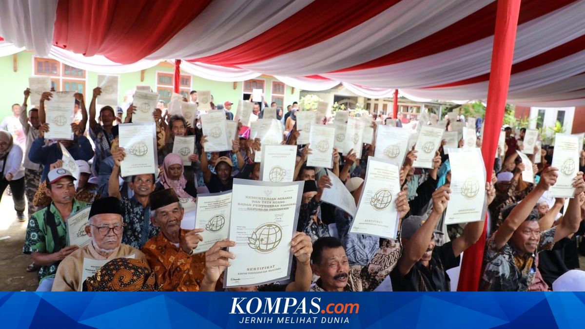
Duplicate land certificates (SHM) remain a persistent land issue causing conflicts across various regions. This occurs when a single plot of land has multiple officially issued certificates. Consequently, landowners often become embroiled in protracted disputes. In some cases, the issue has led to the eviction of residents who legally hold official land titles. Minister of Agrarian Affairs and Spatial Planning/National Land Agency (ATR/BPN) Nusron Wahid previously explained that duplicate SHMs typically arise from administrative errors and outdated land data systems, particularly certificates issued between 1960 and 1987. During this period, many certificates were issued without accurate cadastral maps, leading to discrepancies between BPN records and actual land conditions on the ground. ‘This is where the boundary is? What’s the shape? There’s nothing. There’s only a land drawing. No address,’ Nusron stated, quoted on Monday, 1 June 2026. Cadastral maps, used for detailed land plotting, have a large scale of approximately 1:100 to 1:5,000, enabling clear and precise physical boundaries. When administrative data at land offices does not align with ground conditions, disputing parties typically submit ownership claims based on available evidence. Disputes become more complex when involved parties have passed away, with conflicts then passed to their heirs. ‘Why? Because there is no proof that the land belongs to that person. There are many such cases,’ Nusron said. To reduce the risk of duplicate SHMs, the ATR/BPN Ministry is accelerating land service digitalisation. Electronic systems aim to better integrate land data, reducing certificate overlaps. Shamy Ardian, Head of the ATR/BPN Bureau of Public Relations and Protocol, stated that several factors can cause a single plot to have two or more certificates. These typically include certificates issued between 1961 and 1997 without cadastral maps, and outdated data not integrated into the digital land system, risking overlapping ownership. ‘Many conflicts and public complaints stem from the lack of past cadastral digitalisation,’ Shamy said. To prevent recurrence, the ministry is continuously updating data through cadastral modernisation and digitalisation programmes. Additionally, regional land offices are encouraged to actively validate data and strengthen coordination with local governments to resolve land issues. Land KW is divided into six categories, each with differing legal strengths. The three types of KW land certificates include KW 1, KW 2, KW 3, KW 4, KW 5, and KW 6 (referred to as KW 123456).