
PRR Task Force Strengthens Mitigation-Based Spatial Planning in 3 Sumatran Regions
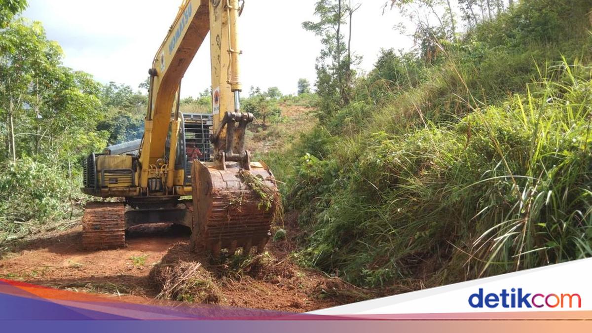
Permanent post-disaster recovery in Aceh, North Sumatra, and West Sumatra is not merely directed towards rebuilding houses, roads, bridges, and affected public facilities. Furthermore, recovery must ensure that affected areas are redesigned to be safer from future disaster risks.
This step is part of the Sumatra Post-Disaster Rehabilitation and Reconstruction Acceleration Master Plan (Renduk PRRP) 2026-2028, which positions spatial planning as a vital foundation in the reconstruction of affected regions. Through this approach, rehabilitation and reconstruction are not interpreted solely as physical recovery, but also as an opportunity to improve development patterns to be more resilient.
Under the Renduk PRRP, spatial planning is directed through the integration of Disaster-Prone Zones (ZRB) into provincial and regency/city spatial planning documents. This policy includes adjustments to spatial structures and patterns, control of spatial utilisation in high-risk areas, the relocation of permanent housing from vulnerable locations, and the strengthening of land legal certainty for affected communities.
The Sumatra Post-Disaster Rehabilitation and Reconstruction Acceleration Task Force (Satgas PRR) assesses that this approach is essential so that residents who have lost their homes do not merely obtain new housing, but can also live in areas that are safer, more decent, and have access to basic services. Therefore, the determination of permanent housing locations must consider disaster risk levels, river basin conditions, river buffers, and alignment with Regional Spatial Plans (RTRW) and Detailed Spatial Plans (RDTR).
In addition to settlements, spatial reconstruction also serves as the basis for rebuilding public infrastructure. Roads, bridges, irrigation networks, drainage, embankments, educational facilities, health facilities, and community service centres need to be constructed by considering environmental characteristics and potential disaster risks to ensure they do not become vulnerable again when facing extreme weather.
The Minister of Agraria and Spatial Planning/Head of the National Land Agency (ATR/BPN), Nusron Wahid, emphasised the importance of a thorough evaluation of spatial planning in disaster-affected areas of Sumatra. According to him, spatial planning in affected regions needs to be redesigned to be more disaster-resilient.
“Regarding the total evaluation of the Regional Spatial Plan (RTRW) on Sumatra Island, especially in the three provinces affected by flooding: how the future spatial plan must be redesigned to be more resilient to disasters. Why? Because this spatial planning has proven to lack a disaster mitigation dimension,” Nusron stated in a written statement on Monday (6/7/2026).
Nusron added that recovery cannot be achieved through physical reconstruction alone. He noted that the reconstruction phase must serve as a momentum to improve spatial planning, including re-evaluating the functions of areas that currently serve as water absorption buffers.
Through the strengthening of disaster-risk-based spatial planning, the PRR Task Force ensures that reconstruction in Aceh, North Sumatra, and West Sumatra proceeds in a more directed, safe, and sustainable manner.
“The moment is when reconstruction has begun; only then will we think about spatial reconstruction in addition to physical reconstruction. In addition to physical rehabilitation, there is also spatial rehabilitation,” he concluded.