
Private green spaces help Samarinda exceed 30 percent target
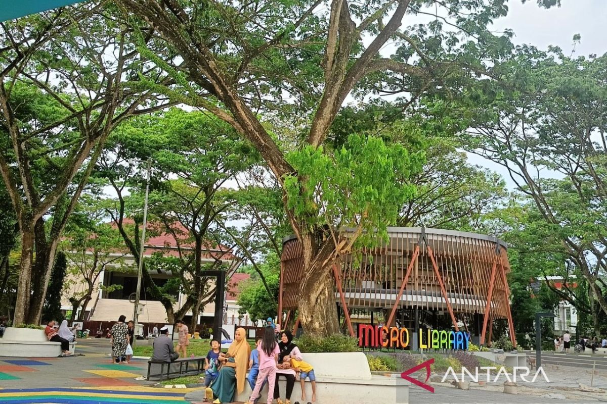
The Samarinda City Environmental Agency has stated that the existence of privately managed green open spaces (RTH) has effectively helped the Samarinda region exceed its target for nature conservation area, reaching figures above thirty per cent.
“Overall, combining land owned by the public and private parties, the total area of green open space in this city has actually reached over thirty per cent,” said Basuni, Head of the Environmental and Parks Division of the Samarund City Environmental Agency, in Samarinda on Saturday.
The achievement of this green buffer zone area has been supported by high levels of compliance from commercial housing developers and managers of other private facilities, such as shopping centres and petrol stations.
“The sustainable strategy we always apply is to encourage every business actor to remain disciplined in contributing green open space in every housing project implementation,” said Basuni.
The involvement of these private entities has proven vital, considering that urban planning areas always face land constraints when attempting to meet provision targets independently.
“The biggest challenge and homework for our agency at this time is realising the provision of public parks, as these ecological instruments are highly expected to function fully over the long term,” he added.
Total public green open space in Samarinda City has only reached approximately 6.8 per cent of the total area of 71,800 hectares. This figure is still far from the national ideal target mandated by law of at least 30 per cent, which consists of 20 per cent public RTH and 10 per cent private RTH.
“Unbuilt local government land assets are projected to open new potential absorption areas of more than 2,000 hectares to pursue the achievements of the spatial planning plan,” said Basuni.
To this end, land-use collaboration between the private sector and regional assets continues to be accelerated to reach a green open space target of up to 4,600 hectares, based on the Samarinda City Government’s spatial planning plan.