
Prabowo calls for accurate mapping of forest and land fire conditions in West Kalimantan
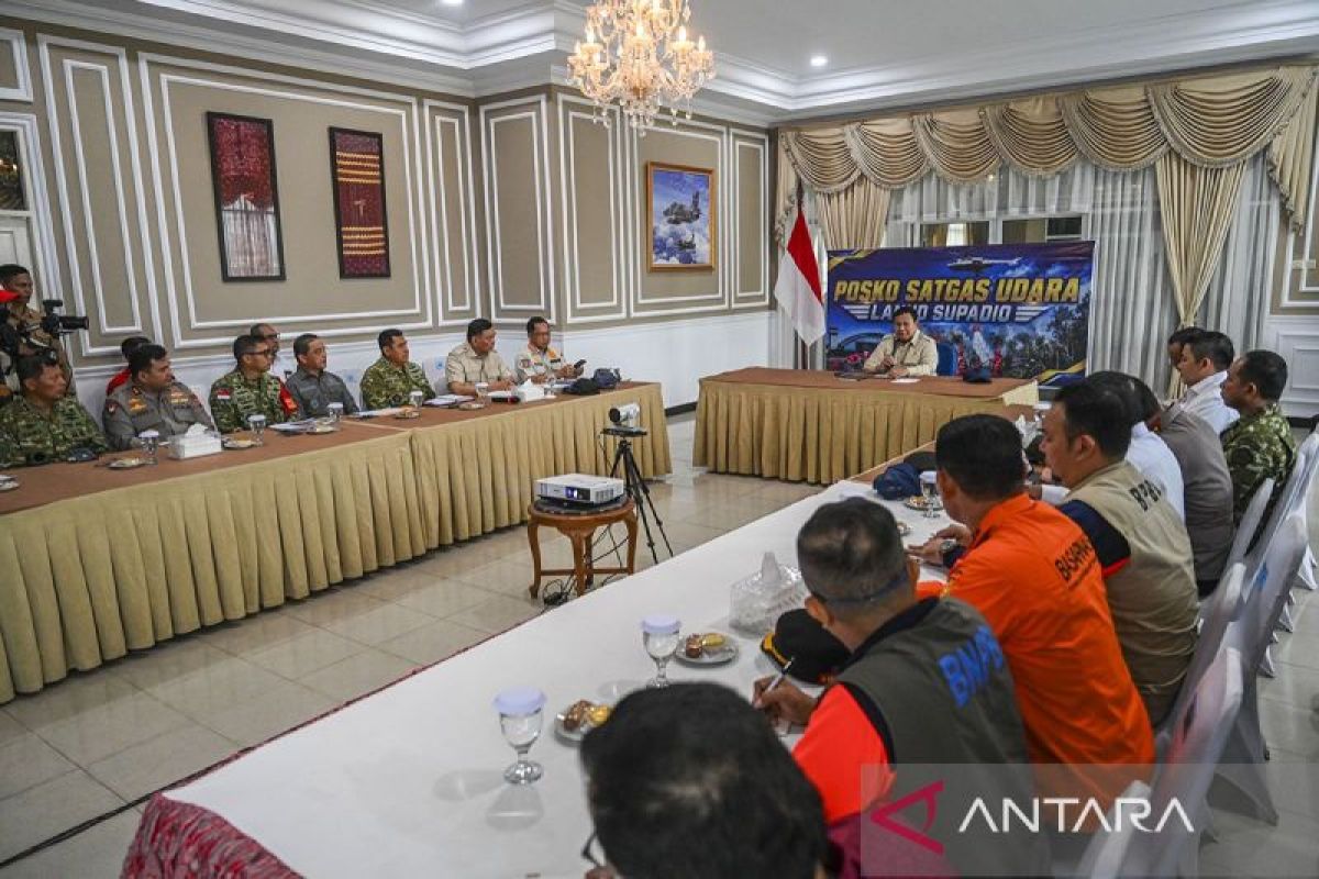
President Prabowo Subianto has asked relevant officials to present the actual conditions of forest and land fires in West Kalimantan in order to determine response measures based on the latest situation on the ground.
“I have come to see the real local conditions. Now I ask whoever can give me a presentation on the situation,” President Prabowo said while chairing a forest and land fire handling meeting in Kubu Raya, West Kalimantan, on Saturday.
The President requested the report after Cabinet Secretary Teddy Indra Wijaya reported the attendance of central government ministries and agencies as well as regional government officials at the forest and land fire handling meeting.
Responding to the President’s request, Brigadier General (Ret.) Asrianus Bulo, an expert adviser to the Head of the National Disaster Management Agency (BNPB), presented the results of 24-hour hotspot monitoring based on satellite observation.
Bulo reported that there were 198 hotspots with a high confidence level in West Kalimantan. In addition, 3,100 hotspots with a medium confidence level and 406 hotspots with a low confidence level were detected.
“We report that these hotspots are predominantly located in Ketapang Regency, Kubu Raya Regency and North Kayong Regency in the southern sector. Then in the eastern region there are also Sanggau, Sintang and Sambas regencies,” Bulo explained.
During the meeting, Bulo reported that the government had previously carried out weather modification operations from 11 to 18 August 2026. The operations were then halted because there was insufficient cloud potential.
“We have since held a meeting with BMKG and the initial potential is expected to occur from 23 to 27 August, so we will carry out weather modification operations,” Bulo said.
The report served as material for President Prabowo to gain an overview of the development of forest and land fires as well as the response measures that the government can take, including through coordination between the central government, regional governments and relevant agencies.
Source: jawawa.id (https://jawawa.id/newsitem/prabowo-calls-for-accurate-mapping-of-forest-and-land-fire-conditions-in-west-kalimantan-1787385189)
Originally published by Antara (Indonesian) (https://www.antaranews.com/berita/5706456/prabowo-minta-kondisi-karhutla-kalbar-dipetakan-secara-nyata), translated from Indonesian