
People Can Now Check Disaster Risks Based on Their Location – Here’s How
Jakarta – The Ministry of Energy and Mineral Resources (ESDM), through the Geological Agency, has launched the latest version of MAGMA Indonesia, bringing together information on volcanic activity, earthquakes, tsunamis and ground movements in one service. Using the platform, people can check on their phones whether their current location is in a geological disaster-prone area.
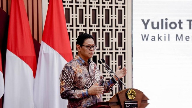
“Through the system and information we have developed, we will be able to share information with ministries and agencies,” Deputy Minister of Energy and Mineral Resources Yuliot said, according to a written statement on Friday (23 October 2026).
He said this would enable disaster information services and risk mitigation for public safety to be delivered as part of a coordinated process. Yuliot also called for monitoring results to be translated into action plans at each institution.
“We need to set out mitigation measures in action plans for every ministry and agency,” he said.
The latest version is a multi-platform application accessible on the web and Android devices, and is now officially available to iOS users. Its launch forms part of the digital transformation of geological disaster information services.
MAGMA Indonesia includes 10 major feature updates. One is Geohazard Location Awareness, which identifies a user’s position in relation to disaster-prone areas.
Other updates include more stable CCTV monitoring and live seismograms, a history of disaster activity, and data integration through an Application Programming Interface (API). For early warnings, the system uses the Common Alerting Protocol (CAP) as a standard format.
“With this update, the Ministry of Energy and Mineral Resources hopes disaster information can be used for early warnings, preparedness and decision-making. With wider access, people can monitor geological disaster information anytime and anywhere, helping them reduce risks and impacts,” Yuliot said.
Geological Agency head Lana Saria said the development of MAGMA Indonesia was intended to ensure that disaster information prompted faster and more appropriate action.
“The system is fundamentally designed to empower the public to take targeted early action, thereby minimising the risks and impacts of geological disasters,” Lana said.
API integration also gives other institutions access to the data. The National Disaster Mitigation Agency (BNPB), regional disaster management agencies (BPBD), ministries, government agencies and other stakeholders can use MAGMA Indonesia information directly in their own systems.
“This integration is expected to strengthen coordination and speed up the delivery of information to policymakers and the public,” she said.