
Oburauw Tribe in Kaimana Agrees to Participatory Mapping of Customary Territory
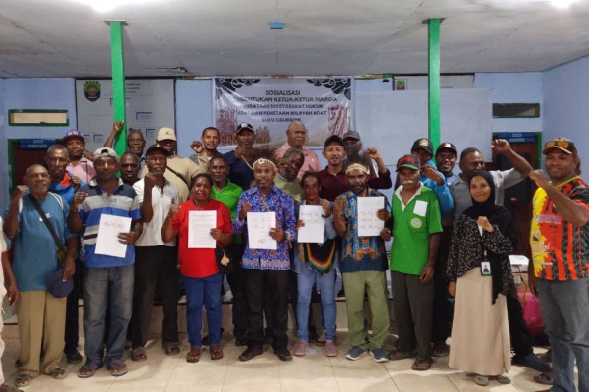
The Oburauw indigenous community in Kambrauw District, Kaimana Regency, West Papua, has agreed to carry out participatory mapping of their customary territory as an effort to protect natural resources, clarify territorial boundaries, and prevent internal conflict.
The agreement was reached through a Free, Prior and Informed Consent (FPIC) process held on 8 August 2026 and marked by the signing of official minutes by clan representatives and the local village government.
Oburauw tribal chief Mateus Furay said in a press release on Friday that mapping the customary territory is an important step for the community to safeguard natural resource potential while understanding the boundaries between clans, villages, and tribes.
He expressed hope that the mapping would provide greater space for indigenous communities to manage natural resources in their area independently and sustainably.
The Oburauw Customary Territory is the living space of the Oburauw people, spread across several villages in Kambrauw District. Based on the 2022 BPKH Region XVII Manokwari map, part of the area lies within state forest zones and is included in the Indicative Map of Social Forestry Areas (PIAPS).
Oburauw indigenous community member Lukas Nauseny said mapping the customary territory is also important to ensure the survival of future generations, particularly in facing planned investments or management of local potential.
Meanwhile, the Tanggaromi Village Government supports the mapping as a form of protection for the identity and customary territory of the Oburauw people.
EcoNusa Foundation Community Business Development Programme Associate Emawati Hanubun explained that the FPIC process serves as a legitimacy foundation so that mapping is carried out based on the will of the indigenous community.
The process is an initial step in documenting the history, identity, managed territory, resources, and customary institutions within the seven pillars of participatory mapping information.
To date, Kaimana Regency has only one customary territory that has received recognition through a regent’s decree, namely the Aara Customary Territory of the Napiti Tribe. Customary territory mapping is also being carried out in Urumuka and Brari.
The protection of indigenous peoples’ rights over territory and natural resources will also be one of the topics at the PAPEDA Summit in Sorong on 2-4 September 2026.