
NTT earthquake a reminder of active tectonic zone in Nusa Tenggara
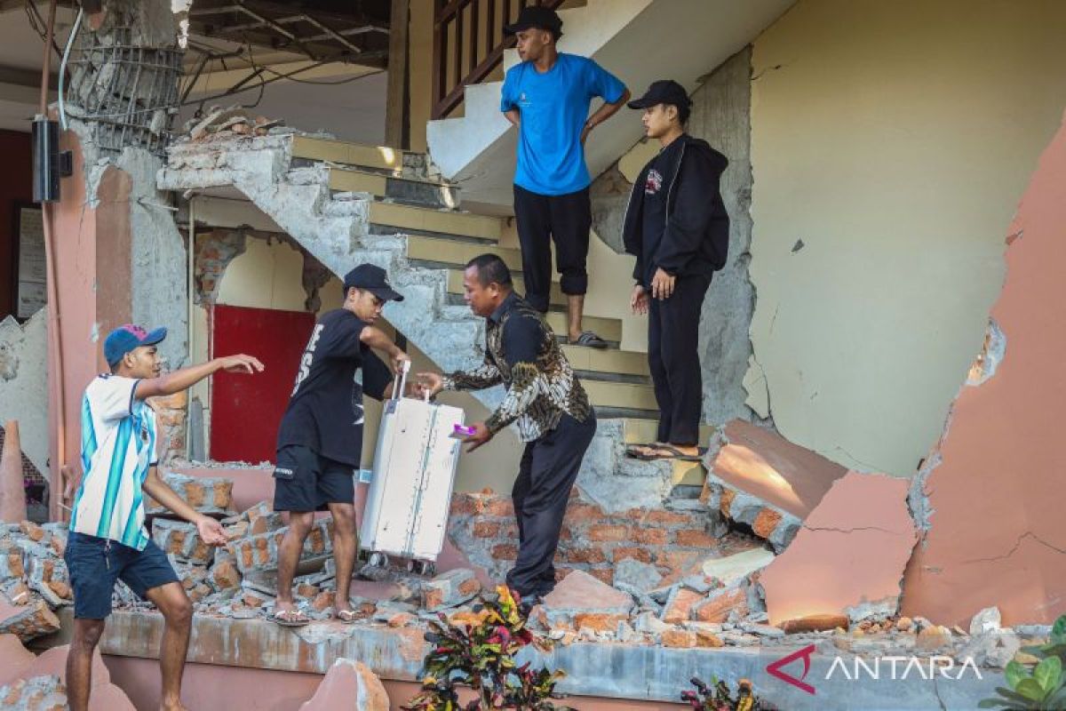
Aji Syailendra, a lecturer in Geological Engineering at Muhammadiyah University of Mataram, said the magnitude 7.7 earthquake that occurred in East Nusa Tenggara (NTT) on Saturday serves as a reminder that the Nusa Tenggara region lies within an active tectonic zone.
The Nusa Tenggara region experiences high tectonic activity because it is influenced by various active fault structures, including the Flores Back-Arc Thrust.
“The Flores Back-Arc Thrust is an important active tectonic structure for understanding the potential for earthquakes and geological disasters in Nusa Tenggara,” he said in a statement in Mataram, West Nusa Tenggara (NTB), on Saturday.
The Flores Back-Arc Thrust structure extends for hundreds of kilometres along the seabed from north of Flores, Sumbawa and Lombok to the Bali area. The fault system has an earthquake potential of around magnitude 7.8 to 7.9.
Aji said the tectonic earthquake that occurred today is part of the same fault system that triggered the 1992 Flores earthquake and the 2018 Lombok earthquake sequence.
According to him, the existence of this active tectonic structure is important to understand because Nusa Tenggara faces not only the threat of earthquakes but also the potential for secondary disasters in the form of tsunamis.
“From a geological perspective, this is the same fault system that caused the 1992 Flores earthquake and the 2018 Lombok earthquake sequence,” said the Dean of the Faculty of Engineering at Muhammadiyah University of Mataram.
On 15 August 2026, the magnitude 7.7 earthquake that shook East Nusa Tenggara was recorded as centred at sea at coordinates 8.41 degrees South latitude and 121.39 degrees East longitude. The location lies about 30 kilometres northeast of Nagekeo at a depth of 15 kilometres.
Aji explained that the character of the thrust fault on the seabed is one of the factors that needs to be watched because sudden movement along the fault plane can cause vertical changes in the sea floor.
Such changes can subsequently push the water column and potentially trigger a tsunami if the necessary conditions are met.
History records that the Nusa Tenggara region once experienced major impacts from tectonic earthquake activity on 12 December 1992.
The Flores earthquake at that time triggered a tsunami that struck Maumere and Babi Island with wave heights reaching around 26 metres and caused more than 2,500 deaths.
“From a geological standpoint, Nusa Tenggara is not merely a region that experiences frequent earthquakes. The area lies within an active tectonic zone with various potential geological disasters ranging from earthquakes to tsunamis,” said Aji.
Based on earlier reports, NTT Governor Melki Laka Lena said five people died as a result of the magnitude 7.7 tectonic earthquake in Mbay, Nagekeo Regency.
BMKG issued a tsunami early warning shortly after the tectonic earthquake occurred. The tsunami early warning was officially lifted at 08.30 WITA after observations showed no further significant rise in sea level.