
NTB to Revise Spatial Plan, 87 Percent of Agricultural Land Protected from Conversion
The West Nusa Tenggara (NTB) provincial government will revise the province’s Regional Spatial Plan (RTRW). Under the new plan, 87.04 per cent of farmland in NTB may not be converted to other uses.
The planned overhaul of the NTB spatial plan has received approval from the Ministry of Agrarian Affairs and Spatial Planning/National Land Agency (ATR/BPN). The revision is expected to break the deadlock over investment permits and infrastructure development in the region.
Suyus Windayana, Director-General of Spatial Planning at the Ministry of ATR/BPN, said the current spatial rules in NTB are outdated because they were drawn up before 2015. He said the comprehensive RTRW revision is also intended to provide legal certainty.
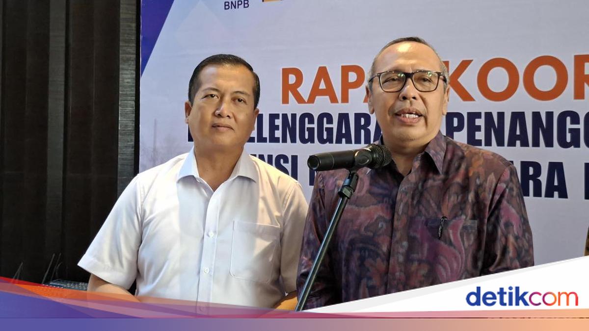
“We will first map out which land is for food security and which is for other activities. God willing, next year we will revise all spatial plans at the provincial and district/city levels,” Suyus said after attending a Disaster Management Coordination Meeting in Mataram on Friday (24/7/2026).
According to Suyus, the revised RTRW will mandate the protection of 87 per cent of rice fields as permanent farmland. If any land must be converted for development, it must be replaced in accordance with the law.
“Of the existing rice fields, 87 per cent may not be converted. This certainty is important so that communities and investors wanting to enter NTB have clear legal certainty,” he added.
Meanwhile, NTB Governor Lalu Muhammad Iqbal explained that investment and infrastructure project permits have often been obstructed by regional-level Sustainable Food Agricultural Land (LP2B) regulations. Iqbal said the minimum threshold of 87 per cent of farmland is calculated at the provincial scale, not at the district/city level. According to him, this scheme is a breath of fresh air for urban areas with little farmland.
“If measured at the district/city level, it would be very difficult for Mataram or Bima to reach 87 per cent. So we agreed that the 87 per cent applies at the provincial level, allowing districts and cities to cross-subsidise land among themselves,” Iqbal explained.
“This means investment permits can now be issued because the land has been removed from the LP2B designation. Likewise, infrastructure that is to be built can now proceed because it has been swapped with other land,” he added.
In addition to discussing the provincial-level RTRW revision, Iqbal has also integrated strict disaster risk mapping in NTB. The province is moreover classified as an area prone to earthquakes, tsunamis and drought.
“Disasters cannot be faced alone, especially with limited budgets. We should not constantly rely on BNPB. Provinces and district/city governments must also be prepared. This new spatial plan was designed to share roles so that disaster risks can be mitigated from the outset,” Iqbal concluded.