
North Sumatra Earthquake Tremors Felt in Aceh and Malaysia
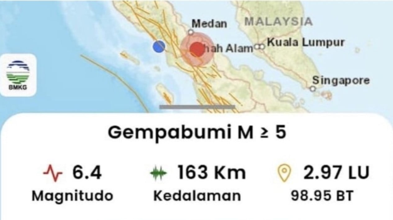
A magnitude 6.4 earthquake that struck Simalungun, North Sumatra, on Saturday evening at around 5.57pm Western Indonesia Time was felt as far as the west coast of Peninsular Malaysia. The Malaysian Meteorological Department said in a statement in Kuala Lumpur that the earthquake did not pose a tsunami threat to Malaysia. The earthquake in North Sumatra occurred at a depth of 163 kilometres, 10 kilometres southeast of Simalungun Regency, North Sumatra Province.
According to Indonesia’s Meteorology, Climatology and Geophysics Agency (BMKG), the epicentre was located at coordinates 2.91 degrees north latitude and 98.93 degrees east longitude. Tsunami modelling showed that the earthquake had no tsunami potential. Taking into account the location of the epicentre and the depth of the hypocentre, the earthquake was classified as an intermediate-depth earthquake caused by plate subduction activity.
The Regional Disaster Management Agency (BPBD) of West Aceh Regency said no building damage had been found in its area as a result of the earthquake. ‘Although it triggered panic among residents due to the earthquake, so far we have not found any damage to buildings owned by the public,’ said Acting Head of the West Aceh Regency BPBD, Teuku Ronal, to reporters, quoted on Sunday, 16 August 2026.
He explained that the tremors from the earthquake in Simalungun Regency, North Sumatra, were felt by most residents of Meulaboh City and its surroundings at an intensity scale of V MMI. At this intensity level, vibrations are felt by almost the entire population and have the potential to wake sleeping residents. ‘Based on field monitoring reports up to Saturday evening, there have been no reports of building damage or casualties in West Aceh Regency so far,’ he said.
Based on BMKG data, the earthquake’s epicentre was located at coordinates 2.97 degrees north latitude and 98.95 degrees east longitude, precisely on land 11 kilometres east of Simalungun, North Sumatra, with a hypocentre depth of 163 kilometres.