
Never Forget Disaster History
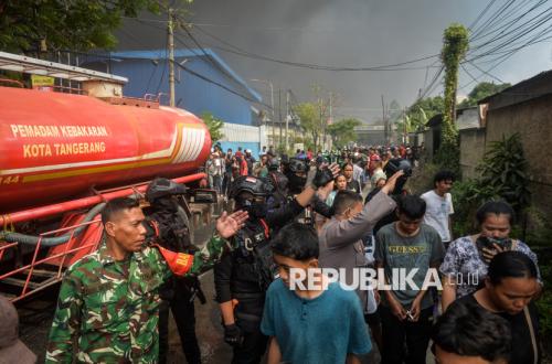
Floods, landslides, and flash floods recurring in various regions of Sumatra serve as a fundamental reminder: are every disaster truly new events, or do we simply forget previous occurrences too quickly?
The late Lt. Gen. (Ret.) Doni Monardo, Head of BNPB for the 2019–2021 period, once warned, “Natural disasters are repetitive. We just do not know when the event will occur.” This statement was made in 2020 when discussing the historical record of earthquakes and tsunamis in North Sulawesi. The message was simple yet fundamental to disaster management: do not only look at disasters through what happens today; look at what has happened in the same place before.
In this context, the message of President Soekarno, ‘Jasmerah’—Never forget history—takes on a new meaning: Never forget disaster history.
When History Saves
Simeulue provides one of the best examples. In 1907, a powerful earthquake followed by a tsunami struck the island. That experience did not remain merely a story of disaster; the community preserved it in their collective memory and passed it down through an oral tradition known as ‘Smong’.
The message was simple: if a strong earthquake occurs and the sea recedes unusually, immediately move away from the coast to higher ground. Nearly a century later, on 26 December 2004, a massive earthquake shook western Sumatra and triggered a devastating tsunami in the Indian Ocean. When the earthquake occurred and the sea showed unusual signs, the memory of Smong was revived. The community moved to higher ground. The 1907 experience transformed into life-saving action in 2004. Smong demonstrates that disaster history can serve as an early warning system. Its technology is not sensors, sirens, or satellites, but human memory maintained across generations.
We do not always need to open hundred-year-old archives to find examples of recurring disasters. On 12 December 1992, Flores was struck by a M7.5 earthquake that triggered a tsunami. BMKG records indicate approximately 2,500 people died or went missing. The tsunami reached about 300 metres inland, and at certain locations, reached heights of around 25 metres.
Thirty-four years later, on 15 August 2026, a M7.7 earthquake struck the Flores region and triggered another tsunami. BMKG noted the epicentre of the 2026 earthquake was approximately 70 kilometres from the epicentre of the 1992 earthquake-tsunami. While the sources of the two tsunamis were not identical, both serve as a reminder that Flores sits within an active tectonic environment. Thirty-four years is not a long time; many who experienced the 1992 disaster were still alive when the 2026 earthquake occurred. The question remains: how far has the memory of 1992 been translated into spatial planning, evacuation routes, early warning systems, community drills, and preparedness for 2026?
If Simeulue could preserve the memory of Smong for almost a century, we should be able to preserve disaster memory for at least one generation.
Rivers Also Have a History
The same principle applies to hydrometeorological disasters. The massive floods hitting Sumatra in late November 2025 occurred alongside extreme rainfall as Tropical Cyclone Senyar developed around the Malacca Strait. However, explaining floods solely through the lens of ‘Cyclone Senyar’ risks losing long-term perspective.
Aceh Tamiang provides an interesting example. Archive searches show that flooding in Tamiang is not a new phenomenon. The ‘Koloniaal Weekblad’ edition of 17 June 1904 recorded flooding in Kwala Simpang that caused a boat to capsize, resulting in six deaths. Other colonial records even described the overflow of the Tamiang River, particularly in Tamiang Hilir, as a recurring annual danger, with water level differences of up to 10 metres once recorded.
More than a century ago, humans already understood the flood characteristics of the Tamiang River. Then, in 2025, massive flooding arrived again. Of course, Tamiang today is not the same as Tamiang a hundred years ago; the population has increased, settlements have expanded, and land cover and usage have changed, as have the conditions of the watershed and the river.