
National forest and land fire area reaches 107,465 hectares up to June
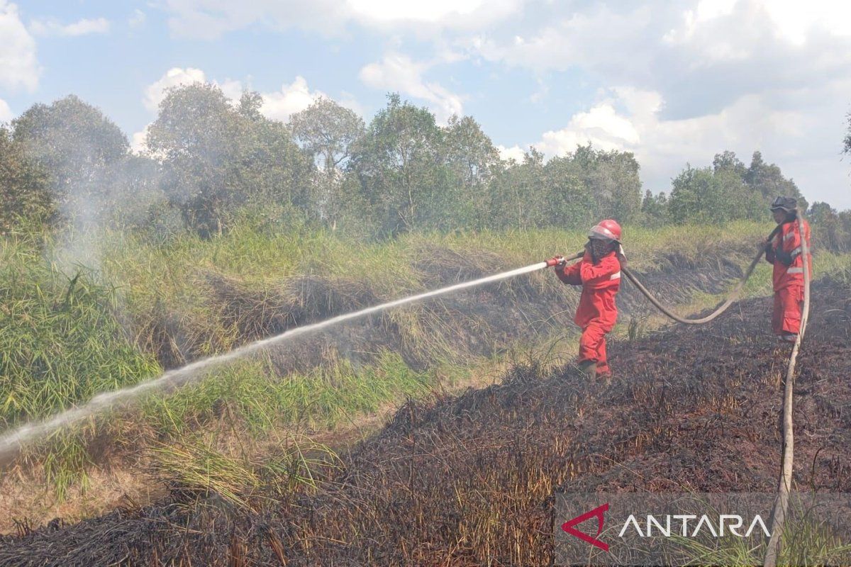
The Ministry of Forestry (Kemenhut) has recorded that the total area of national forest and land fires (karhutla) from January to June 2026 reached 107,465.47 hectares. Director General of Forestry Law Enforcement at Kemenhut Dwi Januanto Nugroho in Banjarbaru, South Kalimantan, stated on Friday that the five provinces with the largest burnt areas are West Kalimantan, Riau, East Nusa Tenggara, Maluku, and South Papua. In South Kalimantan alone, the burnt area reached 383.07 hectares, comprising both peatland and mineral soil. Weather Modification Operations have been ongoing since 15 July 2026 based on cloud seeding potential predicted by the Meteorology, Climatology and Geophysics Agency, while efforts to rewet peatlands through water gate management continue to maintain water levels and reduce fire risk. The ministry is also strengthening law enforcement against perpetrators of forest burning. ‘Prevention, preparedness, firefighting, law enforcement, and public education efforts are continuously being carried out to preserve forests, environmental quality, and public safety during the 2026 dry season,’ said Director General of Forestry Law Enforcement Dwi Januarto Nugroho.