
NASA Satellite Reveals Unexpected Complexity in Pacific Megatsunami
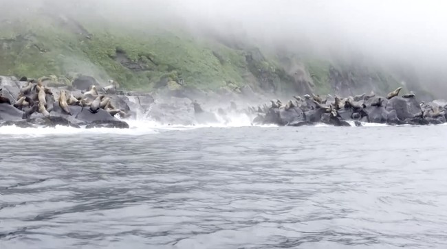
In July 2025, a massive megatsunami occurred off the coast of the Kamchatka Peninsula, Russia, spreading across the entire Pacific Ocean. This was revealed by NASA’s high-resolution satellite, known as ‘Surface Water Ocean Topography (SWOT)’.
The satellite has provided scientists with a new perspective that was previously unattainable. The findings were published in the scientific journal The Seismic Record. Researchers described this as the first high-resolution, wide-coverage observation of a large tsunami triggered by an earthquake in a subduction zone.
The observations revealed unexpected facts. Rather than moving as a simple wave, the tsunami exhibited much more complex patterns. The waves spread, dispersed, and interacted across vast areas of the Pacific Ocean.
This discovery is considered capable of helping scientists improve the accuracy of tsunami early warning systems while understanding the risks faced by coastal regions, including countries in the Pacific region such as Indonesia.
Tsunami Triggered by 8.8 Magnitude Earthquake
The tsunami was triggered by an 8.8 magnitude earthquake that shook the Kuril-Kamchatka subduction zone on 29 July 2025. This area is a meeting point of tectonic plates, where one plate is pushed beneath another.
The earthquake was recorded as the sixth largest earthquake ever recorded in the world since 1900.
To study the event, scientists combined data from the SWOT satellite with measurements from DART (Deep-ocean Assessment and Reporting of Tsunamis) buoys scattered across various points in the Pacific Ocean. These devices are designed to detect small changes in sea levels and provide early warning information when a tsunami occurs.
The lead author of the study from the University of Iceland, Angel Ruiz-Angulo, stated that the SWOT satellite provides a very different perspective compared to previous observation methods.
“I consider the SWOT data to be like a new pair of glasses,” he said, as quoted from Science Daily.
Previously, he continued, with DART, researchers could only observe tsunamis at specific points across the vast ocean. He explained that while other satellites had existed before, even under optimal conditions, they could only see a thin line crossing the tsunami.
Now, with SWOT, we can capture areas up to approximately 120 kilometres wide with unprecedented high-resolution sea surface data,” he explained.
Special Satellite for Monitoring Earth’s Water
SWOT was launched in December 2022 as a joint mission between NASA and the French space agency, Centre National d’Etudes Spatiales (CNES).
The primary objective of this satellite is to conduct the first comprehensive global survey of all Earth’s surface water, ranging from rivers and lakes to various oceanic phenomena.
Ruiz-Angulo stated that he and his colleague, Charly de Marez, have spent more than two years analysing SWOT data to study various oceanic processes, such as small eddies and ocean currents.
One of the most surprising findings in this research relates to the concept known as wave dispersion. Until now, scientists have regarded large tsunamis as “non-dispersive” waves. Because their wavelength is much larger than the ocean depth, tsunamis were expected to maintain a relatively consistent shape even after travelling thousands of kilometres.