
MP: Don't Trust Google That Misleads Eid Travellers
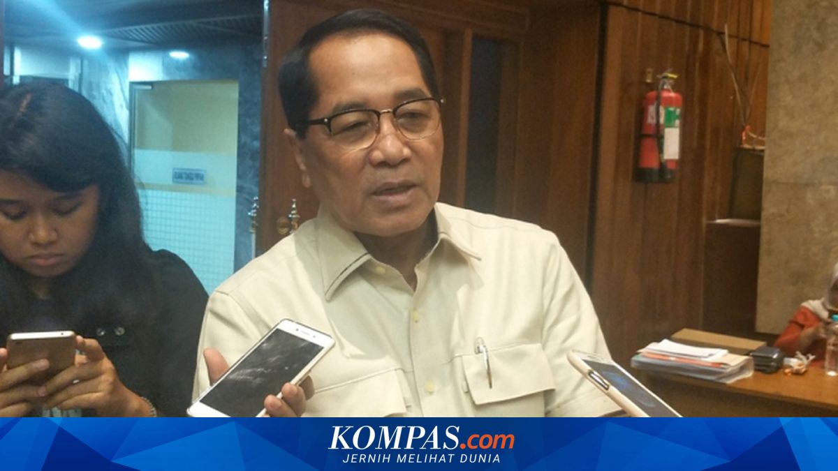
JAKARTA - A member of the House of Representatives (DPR) RI from the Golkar Party faction, Firman Subagyo, is pushing for Indonesia to achieve sovereignty in geospatial data. This is because, to date, domestic geospatial data still relies on foreign data, including from Google. “Earlier, you also mentioned that we have AI and Google. Google, sir, also misleads people. Don’t trust Google. Last time during the Eid return, many people ended up in remote areas and villages. This is a data issue,” said Firman during a hearing on the Single Data Bill (RUU Satu Data) at the parliamentary complex on Monday (6/4/2016). Therefore, he also urged improvements to the system in the Single Data Bill currently being drafted. “Therefore, Indonesia must be independent and firm regarding this data. So finally, Mr Arif, I ask you, since we are drafting this law, it is to improve the system,” he explained. This centralised national data can be used for many purposes, including policy-making. “We fully realise the importance of this national data. Therefore, from various issues, please provide inputs on how the Geospatial Information Agency can become a strong institution,” he stated. Previously, in the same hearing, the Acting Head of the Geospatial Information Agency (BIG), Mohamad Arief Syafi’i, admitted that Indonesia has not yet achieved sovereignty over geospatial data. “We hope that in the future we will have sovereignty over this data, sir. To be honest, we are not sovereign yet. Let alone the technology, sir, even the complete data now is owned by Google Maps, Here Maps, all foreign. We don’t control this data,” said Arief during the hearing on the Single Data Bill on Monday (6/4/2026). He explained that remote sensing technology is now very advanced. However, access to high-resolution technology is still limited, especially for the military version. “Remote sensing technology, satellites are very advanced, the highest resolution published for the public, not the military version, sir, we can’t access it,” he said. Nevertheless, Indonesia faces geographical challenges in the form of cloud cover that hinders the use of optical satellites. On the other hand, Arief believes that aircraft are still needed to produce high-accuracy maps, especially on a large scale. “With this aircraft technology, not only can we increase the resolution to 8 cm, sir, which for 1:1000 needs 8 cm. The resolution means we can capture this glass, sir, but also the positional accuracy,” he said.