
Mount Sinabung’s Alert Status Downgraded to Watchful
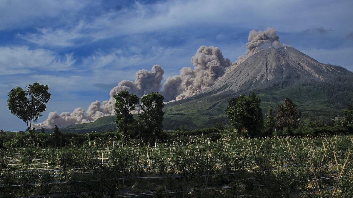
The Geological Agency of the Ministry of Energy and Mineral Resources (ESDM) has lowered the status of Mount Sinabung in Karo Regency, North Sumatra, from Level III (Alert) to Level II (Watchful), effective from 09:00 WIB on 17 October 2026.
“It is true that Mount Sinabung’s activity level has been lowered from Level III (Alert) to Level II (Watchful),” said Armen Putra, head of the Mount Sinabung monitoring post at the Geological Agency of the Ministry of Energy and Mineral Resources, on Saturday (17 October).
Mount Sinabung was visually clear at times and at other times obscured by cloud. White smoke was observed rising from the main crater, varying from thin to moderately thick, and reaching heights of around 50–600 metres above the summit.
Instrumental monitoring recorded the following seismic activity between 8 and 15 October 2026: four gas-release earthquakes, two low-frequency earthquakes, five hybrid or multiphase earthquakes, seven deep volcanic earthquakes, one local tectonic earthquake, 39 distant tectonic earthquakes and one flood-vibration event.
Electronic Distance Measurement (EDM) deformation data showed a fluctuating pattern, with deflation towards the end of the period. Deformation data from the tiltmeter at Laukawar Station also indicated deflation along the measured axis.
Visually observed gas emissions at the summit have fallen significantly, with the emissions becoming less intense and the smoke turning lighter in colour.
There has also been a decline in the number of deep volcanic earthquakes and tectonic earthquakes originating around Mount Sinabung, reducing the potential for an eruption.
Based on a comprehensive analysis and evaluation conducted by the Geological Agency through 15 October 2026, Mount Sinabung’s activity level was lowered from Level III (Alert) to Level II (Watchful), effective from 09:00 WIB on 17 October 2026.
Nevertheless, residents, visitors and tourists are advised not to carry out activities within a 3-kilometre radius of the summit, or within a 4-kilometre sectoral radius in the south-eastern sector of Mount Sinabung.
The Geological Agency also emphasised that villages whose residents have been relocated should not be used again as permanent settlements. Daily activities may continue outside the recommended exclusion zones.
“Residents, visitors and tourists should comply with the new recommendations if Mount Sinabung’s activity increases and/or its alert level rises,” Armen said.