
Mount Sinabung activity increases, Geological Agency expands danger zone
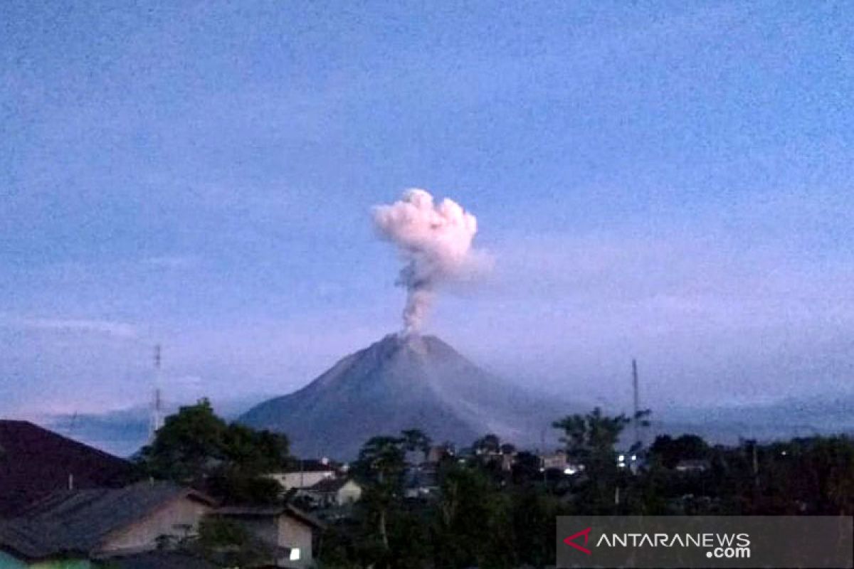
The Geological Agency of the Ministry of Energy and Mineral Resources (ESDM) has expanded the recommended danger zone for Mount Sinabung in Karo Regency, North Sumatra, to a three-kilometre radius from the summit following an increase in volcanic activity. Acting Head of the Geological Agency Lana Saria stated on Friday that despite the rise in visual activity and seismicity, the volcano’s alert level remains at Level II (Waspada). The recommendation zone has been changed from a two-kilometre radius from the summit, with a 3.5-kilometre sectoral zone to the south-east, to a three-kilometre radius with a 4.5-kilometre sectoral zone to the south-east. As of Thursday at 10:00 WIB, the Centre for Volcanology and Geological Hazard Mitigation (PVMBG) recommended that residents, tourists, and climbers refrain from any activities within the new danger zone. Visually, crater smoke emissions have been observed to be thickening, with greyish-white plumes rising up to 1,000 metres above the summit. In addition to primary hazards such as phreatic eruptions, magmatic eruptions, lava dome collapses, incandescent rock ejections, and ash fall, the public is also urged to remain alert to secondary hazards like lahars during rainfall. The Geological Agency has called on the local government, together with the North Sumatra and Karo Regency disaster mitigation agencies (BPBD), to actively coordinate with the Mount Sinabung Observation Post in Ndokum Siroga Village to anticipate further volcanic developments.