
Mount Semeru Sends Pyroclastic Flow 5.5 Kilometres South-east
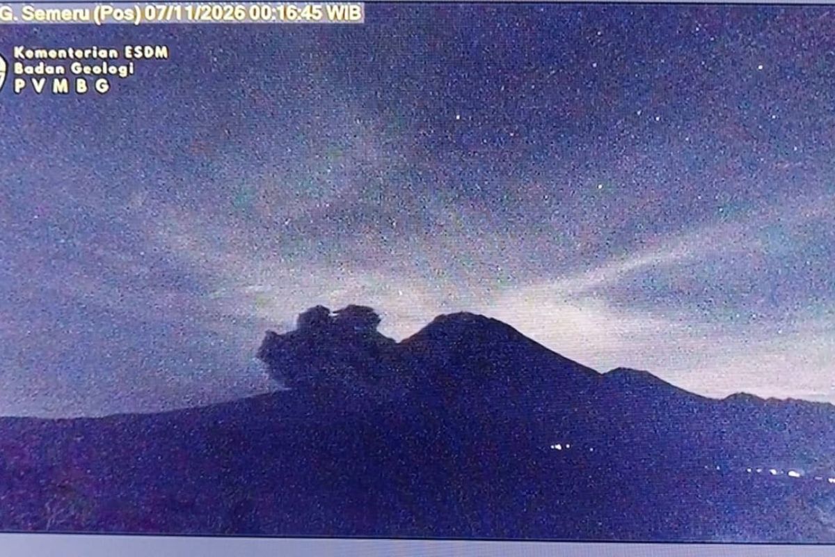
Lumajang, East Java (ANTARA) — Mount Semeru in Lumajang Regency, East Java, erupted early on Saturday, sending a pyroclastic flow 5.5 kilometres from the summit crater south-east towards Besuk Kobokan.
Sigit Rian Alfian, an officer at the Mount Semeru Observation Post, said in a written report that the volcano erupted at 00:11 local time, producing an eruption column about one kilometre above the summit, which stands 4,676 metres above sea level.
The eruption lasted about six minutes and was recorded on a seismogram with a maximum amplitude of 33 millimetres, he said. The ash column was observed to be thick and grey, drifting south and south-west.
“The ash spread towards the south-south-west,” he said.
On Friday afternoon (6 November), Mount Semeru also erupted, sending a pyroclastic flow five kilometres from the summit towards Besuk Kobokan.
Lumajang Regional Disaster Management Agency (BPBD) chief executive Isnugroho said the eruption and pyroclastic flow had not significantly affected activities among residents on Semeru’s slopes.
“Residents’ activities are proceeding normally, and there has been no impact from the eruption and pyroclastic flow because the red zone, which is prone to eruption-related disasters, has been cleared of people,” he said.
Nevertheless, the Lumajang BPBD urged people around Semeru to remain alert. Its rapid-response team, together with military and police personnel at the Curah Kobokan and Oro-Oro Ombo observation posts, was also on standby to respond to volcanic activity.
Residents must not enter areas within 500 metres of riverbanks along Besuk Kobokan, as pyroclastic flows and lahars could travel as far as 17 kilometres from the summit.
“People must also not carry out activities within a five-kilometre radius of Mount Semeru’s crater or summit because of the risk of incandescent rock ejections,” Isnugroho said.
The BPBD urged residents to watch for the effects of pyroclastic flows, lava avalanches and lahars along valleys and river channels originating at Mount Semeru, which is 3,676 metres above sea level.
“This applies particularly along Besuk Kobokan, Besuk Bang, Besuk Kembar and Besuk Sat, as well as the risk of lahars in small rivers that are tributaries of Besuk Kobokan,” he said.
Source: jawawa.id (https://jawawa.id/newsitem/mount-semeru-sends-pyroclastic-flow-5-5-kilometres-south-east-1794016344)
Originally published by Antara (Indonesian) (https://www.antaranews.com/berita/5837879/gunung-semeru-luncurkan-awan-panas-sejauh-55-km-ke-arah-tenggara), translated from Indonesian