
Mount Semeru experiences 21 eruption earthquakes in six hours
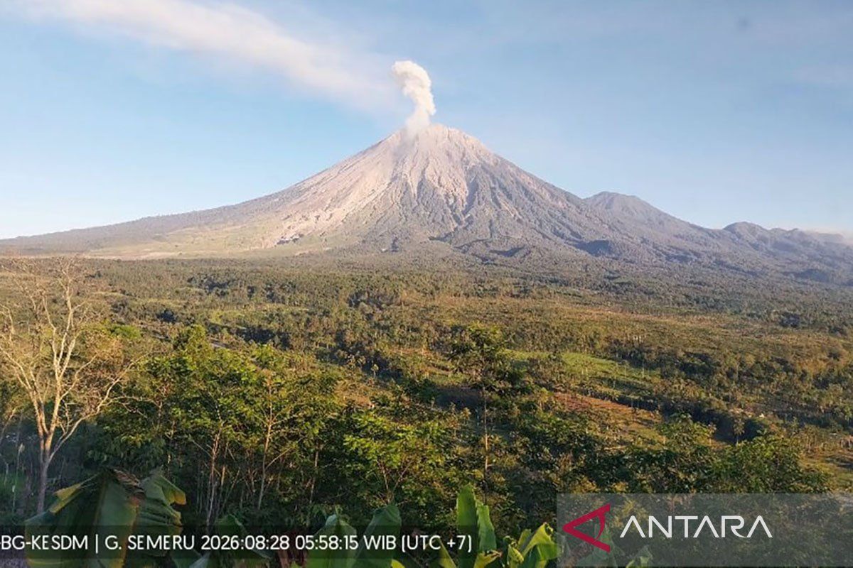
Mount Semeru, located on the border of Lumajang and Malang regencies in East Java, was recorded as experiencing 21 eruption earthquakes during the six-hour period from 00.00 to 06.00 WIB on Friday (28/8). “In the seismic observation, 21 eruption earthquakes were recorded with amplitudes of 10-22 mm and earthquake durations of 67-120 seconds,” said Mount Semeru Observation Post officer Yadi Yuliandi in a written report received in Lumajang.
Mount Semeru also experienced two avalanche earthquakes with amplitudes of 2-12 mm and durations of 56-88 seconds during the last six hours, followed by two blast earthquakes with amplitudes of 6-8 mm and durations of 52-77 seconds, and two distant tectonic earthquakes with amplitudes of 5-17 mm, S-P of 21-46 seconds and durations of 68-113 seconds.
“Visually, the volcano is clearly visible. Crater smoke was not observed. The weather is clear, with light winds blowing towards the southeast and south,” he said.
He explained that the volcanic activity of Mount Semeru is currently at Level III or Alert status, with a recommendation that the public should not carry out any activities in the southeastern sector along Besuk Kobokan as far as 13 km from the summit (eruption centre).
“Beyond that distance, the public must also not carry out activities within 500 metres of the riverbank (river border) along Besuk Kobokan because of the potential to be affected by the expansion of pyroclastic flows and lava flows up to a distance of 17 km from the summit,” he said.
The public must not carry out activities within a five-kilometre radius of the crater/summit of Mount Semeru, as it is prone to the danger of ejected (incandescent) rocks.
The public is also asked to be aware of the potential for pyroclastic flows, lava avalanches, and lahars along the river/valley flows that originate at the summit of Mount Semeru.
“Especially along Besuk Kobokan, Besuk Bang, Besuk Kembar, and Besuk Sat, as well as the potential for lahars in small rivers that are tributaries of Besuk Kobokan,” said Yadi.
Meanwhile, the Bromo Tengger Semeru National Park Agency (BB TNBTS) has imposed a total closure of the Mount Semeru climbing routes since 26 August 2026 due to a forest fire in the Ranu Kembang Block, and all climbers who were in the area had descended by Thursday (27/8/2026).
Source: jawawa.id (https://jawawa.id/newsitem/mount-semeru-experiences-21-eruption-earthquakes-in-six-hours-1788011609)
Originally published by Antara (Indonesian) (https://www.antaranews.com/berita/5714692/gunung-semeru-alami-21-kali-gempa-letusan-selama-enam-jam), translated from Indonesian