
Mount Semeru Erupts with Pyroclastic Flows, Status Remains at Alert Level III
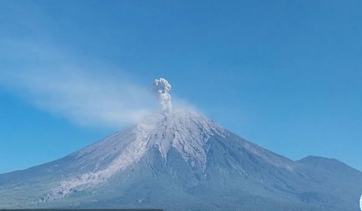
Mount Semeru, located on the border of Lumajang and Malang regencies in East Java, erupted again accompanied by pyroclastic flows on Tuesday evening (18/8). According to reports from officers, the volcanic activity was recorded at 20:33 WIB.
Mukdas Sofian, an officer at the Mount Semeru Observation Post, confirmed that the height of the eruption column could not be observed visually because the mountain’s peak was covered in thick fog. However, the eruption was clearly recorded on the seismogram with a maximum amplitude of 22 mm and a duration of approximately 3 minutes 55 seconds.
“The eruption of Mount Semeru was accompanied by pyroclastic flows with an unknown slide distance because the visual of the mountain was covered in fog,” said Mukdas Sofian in his written report.
Throughout Tuesday, Mount Semeru was recorded to have erupted six times from 01:20 WIB until the evening. In several previous incidents, the eruption height was observed reaching 500 metres above the peak of the mountain, which stands at 3,676 metres above sea level.
Currently, the volcanic activity status of Mount Semeru remains at Level III, or Siaga. Authorities have issued strict recommendations prohibiting any activity in the southeastern sector, particularly along Besuk Kobokan, up to 13 km from the eruption centre.
In addition, the public is prohibited from carrying out activities within a 500-metre radius from the riverbanks along Besuk Kobokan due to the risk of expanding hot clouds and lava flows that could reach a distance of 17 km from the summit. A safe radius of 5 km from the crater or peak has been established to avoid the danger of incandescent rock projectiles.
The public is also urged to remain alert to the potential for hot clouds, lava avalanches, and lahars along river flows originating from Semeru’s peak, including Besuk Kobokan, Besuk Bang, Besuk Kembar, and Besuk Sat, as well as their surrounding tributaries.