
Mount Semeru Erupts with Pyroclastic Flows on Saturday Night, Alert Status in Effect
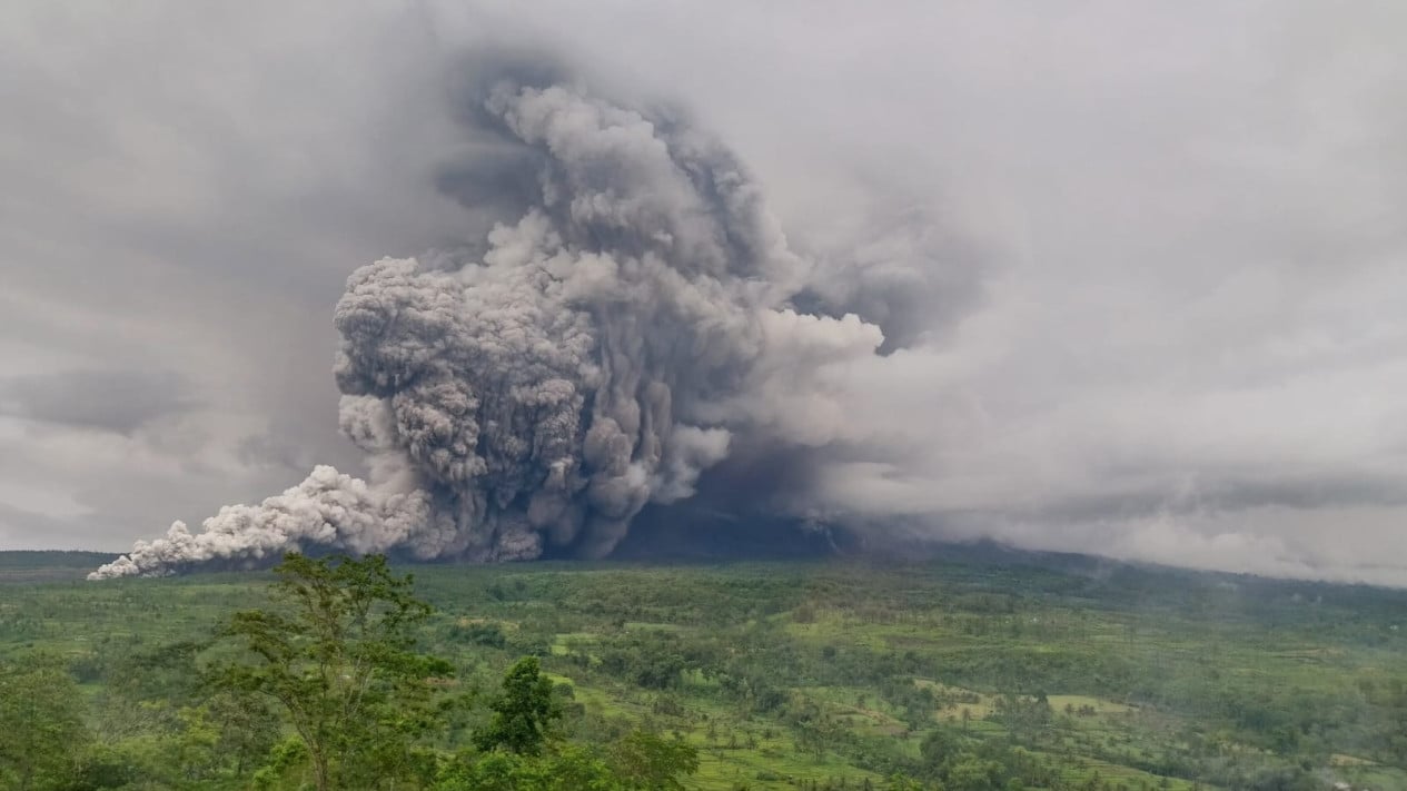
Mount Semeru, located on the border of Lumajang and Malang regencies in East Java, erupted accompanied by pyroclastic flows on Saturday night, 17 May 2026.
“An eruption of Mount Semeru occurred at 19:04 WIB with an estimated eruption column height of around 1,000 meters above the peak or 4,676 meters above sea level,” said Officer at the Semeru Volcano Observation Post, Mukdas Sofian, in a written report received in Lumajang.
According to him, the ash column was observed to be white to grey with thick intensity leaning towards the southwest. The eruption was also recorded on the seismograph with a maximum amplitude of 22 mm and a duration of approximately 5 minutes and 16 seconds.
“The eruption was accompanied by pyroclastic flows, but the distance travelled could not be observed because the slopes of Mount Semeru were covered in fog,” he said.
The highest mountain on Java Island erupted again at 20:30 WIB with an unobserved eruption column height, but the eruption was recorded on the seismograph with a maximum amplitude of 22 mm and a duration of 171 seconds.
Mukdas explained that currently the volcanic activity of Mount Semeru is at Level III (Alert) status with the recommendation that people should not carry out any activities in the southeast sector along Besuk Kobokan, within 13 km of the peak (the eruption centre).
“Outside this distance, people are prohibited from carrying out activities within 500 meters of the river bank (river buffer zone) along Besuk Kobokan because there is a potential for expansion of hot clouds and lava flows up to a distance of 17 km from the peak,” he said.
He also appealed to the public not to carry out activities within a radius of 5 km from the crater/peak of Mount Semeru because they are at risk of rock (pyroclastic) hazards.
Furthermore, people are asked to be aware of the potential for hot clouds, lava flows and lahars along river streams/valleys originating from the peak of Mount Semeru. “Especially along Besuk Kobokan, Besuk Bang, Besuk Kembar, and Besuk Sat, as well as the potential for lahars on small rivers which are tributaries of Besuk Kobokan,” he said. (ant)