Mount Semeru erupts with pyroclastic flow
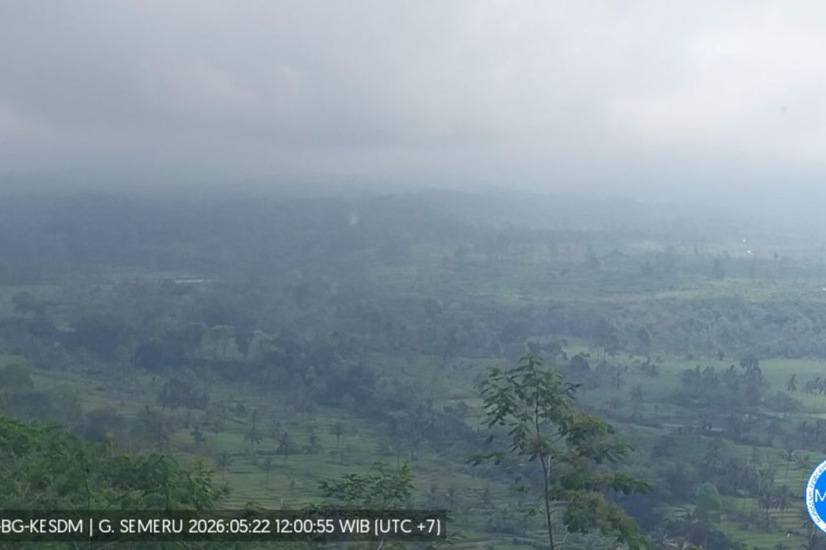
Lumajang, East Java (ANTARA) - Mount Semeru, standing at 3,676 metres above sea level, was reported to have erupted on Friday night, accompanied by a pyroclastic flow. An eruption occurred at 18:40 WIB, but the height of the ash plume was not observed due to fog, said Yadi Yuliandi, a dispatcher at the Mount Semeru Observation Post, in a written report received in Lumajang. According to him, the eruption was recorded on a seismogram with a maximum amplitude of 22 mm and a duration of about 5 minutes 15 seconds. The eruption was accompanied by a pyroclastic flow, with the distance of the advance not known because the mountain, located on the border of Lumajang and Malang regencies, was obscured by fog. Yadi explained that the current volcanic activity of Mount Semeru remains at Level III (Siaga) with the recommendation that residents do not engage in any activity in the southeastern sector along Besuk Kobokan, up to 13 km from the summit (the eruption centre). Beyond that distance, the public should not operate within 500 metres of river banks along Besuk Kobokan because of the potential for the ash cloud to spread and lahars reaching up to 17 km from the summit, he said. He also said the public should not engage in activities within a 5 km radius of the crater/summit of Mount Semeru due to the risk of rock throws (pijar). It is also necessary to watch for potential pyroclastic flows, lava flows, and lahars along the river valleys that originate from the summit of Mount Semeru, particularly along Besuk Kobokan, Besuk Bang, Besuk Kembar, and Besuk Sat, and potential lahars in small rivers that are tributaries of Besuk Kobokan, he added.