Mount Semeru erupts with a 1,000-metre eruption column
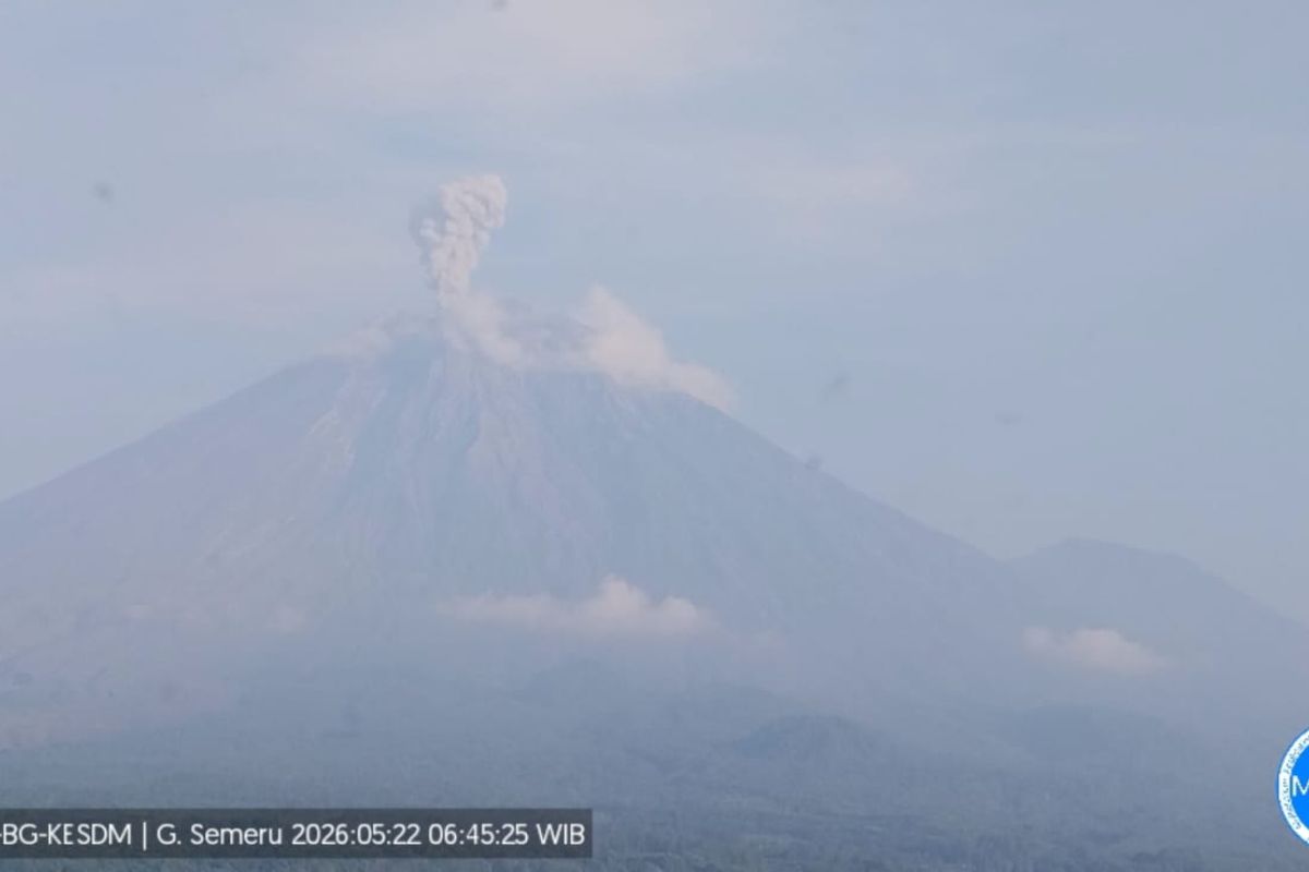
Lumajang, East Java - Mount Semeru, which straddles the border of Lumajang and Malang regencies in East Java, erupted again on Friday morning, with the eruption column reaching 1,000 metres above the summit.
‘There was an eruption of Mount Semeru at 06:44 WIB with the eruption column observed at around 1,000 metres above the summit or 4,676 metres above sea level,’ said Mount Semeru Observation Post Officer Liswanto in a written report received in Lumajang.
According to him, the ash plume observed was white to grey with moderate intensity toward the northeast, and at the time of the report the eruption was still ongoing.
The highest volcano on Java Island erupted again at 07:55 WIB, with eruption visual not observed due to fog.
‘As of the time of the report, the eruption of Mount Semeru was still ongoing,’ he said.
Liswanto explained that Mount Semeru is at Level III (Siaga) status, so the Centre for Volcanology and Geological Hazard Mitigation (PVMBG) issued several recommendations: the public must not engage in any activity in the southeast sector along Besuk Kobokan, up to 13 kilometres from the summit (eruption centre).
Beyond that distance, he said, the public must not operate within 500 metres of the riverbank along Besuk Kobokan due to potential lava flows and ash cloud expansion up to 17 kilometres from the summit.
‘The public is also prohibited from activities within a radius of 5 kilometres from the crater/summit of Mount Semeru due to danger of incandescent rocks being ejected,’ he said.
He also urged the public to beware of potential ash clouds, lava eruptions and lahars along river valleys that head from the summit of Mount Semeru.
‘Specially along Besuk Kobokan, Besuk Bang, Besuk Kembar, and Besuk Sat, as well as potential lahars in small rivers that are tributaries of Besuk Kobokan,’ he added.