
Mount Semeru Erupts Twice on Thursday Morning, Visuals Unobserved
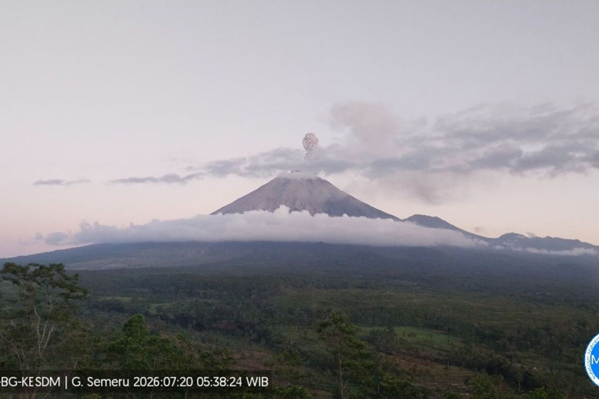
Residents are prohibited from carrying out any activity within a five-kilometre radius of the crater or summit of Mount Semeru due to the danger of incandescent rock throws.
Lumajang, East Java (ANTARA) — Eruption tremors continue to dominate the volcanic activity of Mount Semeru, located on the border of Lumajang and Malang regencies in East Java, over recent days.
During the seismic observation period from 00:00 to 06:00 WIB on Thursday, Mount Semeru recorded 19 eruption tremors with amplitudes of 13–22 mm, followed by seven emission tremors with amplitudes of 3–6 mm.
“Seismic activity also showed one harmonic tremor with an amplitude of 7 mm and one distant tectonic earthquake with an amplitude of 18 mm,” said Liswanto, an officer at the Mount Semeru Observation Post, in a written report received in Lumajang on Thursday.
Eruption tremors also dominated the volcano’s activity during Wednesday’s (22/7) 24-hour observation period, with 77 eruption tremors recorded at amplitudes of 10–22 mm — indeed, dozens of eruption tremors have been recorded every day.
Mount Semeru, the highest volcano on the island of Java, was observed erupting twice on Thursday, at 00:29 WIB and 05:48 WIB, though the eruptions were not visually observed.
Liswanto explained that the volcano’s activity currently stands at Level III (Alert) status, with the recommendation that residents refrain from any activity in the south-eastern sector along Besuk Kobokan up to 13 kilometres from the summit (the eruption centre).
“People are prohibited from carrying out activities within a five-kilometre radius of the crater or summit of Mount Semeru because of the danger of incandescent rock throws,” he said.
He urged residents to remain vigilant of the potential for pyroclastic flows, lava collapses and lahars along the rivers and valleys that originate at the summit of Mount Semeru.
“Especially along Besuk Kobokan, Besuk Bang, Besuk Kembar and Besuk Sat, as well as the potential for lahars in the small rivers that are tributaries of Besuk Kobokan,” he said.