
Mount Semeru Erupts Three Times Today, Sending Ash 1 km High
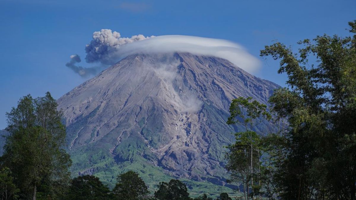
Mount Semeru, on the border of Lumajang and Malang regencies in East Java, erupted three times on Saturday (17 October). The highest eruption column reached 1,000 metres above the summit, with volcanic ash spreading westwards.
Agastya Rajendra, an official at the Mount Semeru Observation Post, said the first eruption occurred at 4.52am local time. The eruption column was observed at about 700 metres above the summit, accompanied by thick, grey volcanic ash drifting west.
The activity was recorded by a seismograph, with a maximum amplitude of 22 millimetres and a duration of 125 seconds.
The second eruption occurred at 6.35am, with the column rising to about 800 metres above the summit, or 4,476 metres above sea level.
“The second eruption occurred at 6.35am, with the eruption column rising higher, observed at about 800 metres above the summit, or 4,476 metres above sea level,” Agastya said in a written report received in Lumajang.
According to Agastya, the ash column from the second eruption was white to grey, with thick ash drifting west. The activity was recorded by a seismograph, with a maximum amplitude of 25 millimetres and a duration of 90 seconds.
The highest mountain on Java erupted again at 10.42am. This time, the eruption column reached about 1,000 metres above the summit, with white to grey volcanic ash drifting west.
“The eruption was recorded by a seismograph, with a maximum amplitude of 25mm and a duration of 137 seconds,” Agastya said.
Mount Semeru’s volcanic activity remains at Level III, or Alert. Residents have been asked to follow safety recommendations and avoid areas at risk of being affected by eruptions.
Agastya explained that people are prohibited from carrying out activities in the south-eastern sector along Besuk Kobokan, up to 13 kilometres from the summit, which is the eruption centre.
“Beyond that distance, people must also avoid activities within 500 metres of the riverbanks along Besuk Kobokan, as pyroclastic flows and lahars could spread as far as 17 kilometres from the summit,” he said.
People are also prohibited from entering a five-kilometre radius around Mount Semeru’s crater or summit, as the area is at risk of being struck by incandescent rocks.
Residents have also been urged to remain alert to potential pyroclastic flows, lava avalanches and lahars along rivers and valleys originating at the summit.
“This applies especially along Besuk Kobokan, Besuk Bang, Besuk Kembar and Besuk Sat, as well as to the risk of lahars in small rivers that are tributaries of Besuk Kobokan,” Agastya said.