
Mount Semeru Erupts This Morning, Pyroclastic Flow Travels Up to 3 Kilometres
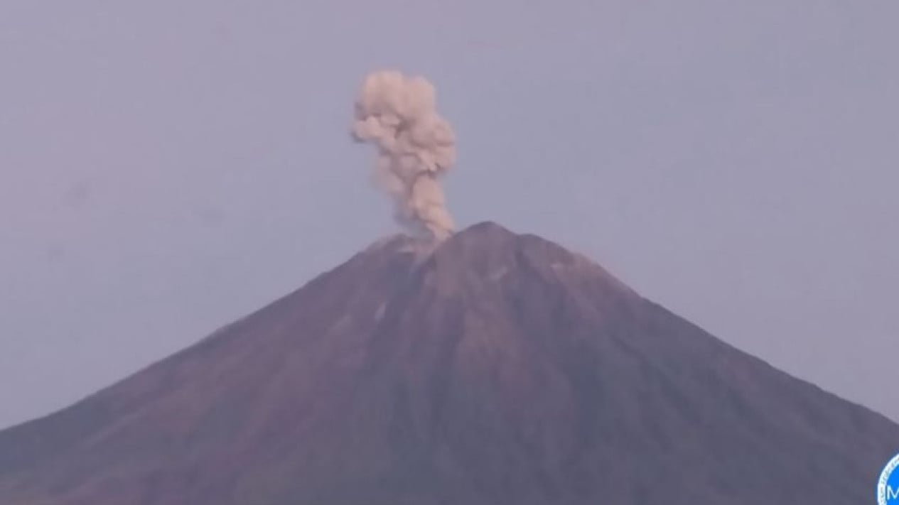
Mount Semeru, on the border of Lumajang and Malang regencies in East Java, erupted on Thursday morning (5 November 2026). The eruption was accompanied by a pyroclastic flow that travelled up to three kilometres from the Mahameru summit.
Semeru Observation Post officer Sigit Rian Alfian reported that the eruption occurred at 6.33am Western Indonesia Time (WIB). An ash column was observed rising about 700 metres above the summit, reaching an altitude of 4,376 metres above sea level.
“Mount Semeru erupted on 5 November 2026 at 6.33am WIB, with an observed ash-column height of about 700 metres above the summit, or 4,376 metres above sea level,” Sigit said in a written report received in Lumajang, East Java, on Thursday.
The ash column was grey, dense and moving south and south-west. The eruption was recorded on a seismogram with a maximum amplitude of 22 millimetres and a duration of about three minutes and 44 seconds.
“The Mount Semeru eruption was accompanied by a pyroclastic flow that travelled approximately three kilometres from the Mahameru summit,” he said.
Semeru Erupts Three Times on Thursday Morning
Before the 6.33am WIB eruption, Mount Semeru had erupted twice earlier that day.
The first eruption occurred at 3.33am WIB. It was not visually observed, but activity was recorded by a seismograph with a maximum amplitude of 25 millimetres and a duration of 153 seconds.
Mount Semeru erupted again at 5.37am WIB. An ash column was observed rising about 200 metres above the summit. It was dense and ranged from white to grey, moving south-west. The eruption was recorded with a maximum amplitude of 25 millimetres and a duration of 124 seconds.
Semeru at Alert Level; Residents Told to Avoid Danger Zones
Mount Semeru’s volcanic activity is currently at Level III, or Alert. Residents have been told not to carry out activities in the south-eastern sector along Besuk Kobokan, up to 13 kilometres from the summit or eruption centre.
“Beyond that distance, people should also avoid activities within 500 metres of the riverbanks along Besuk Kobokan, as pyroclastic flows and lahars could spread as far as 17 kilometres from the summit,” he said.
People are also prohibited from carrying out activities within a five-kilometre radius of Mount Semeru’s crater or summit because of the risk of being hit by incandescent rocks.
Source: jawawa.id (https://jawawa.id/newsitem/mount-semeru-erupts-this-morning-pyroclastic-flow-travels-up-to-3-kilometres-1793847082)
Originally published by VIVA.co.id (https://www.viva.co.id/berita/nasional/1941174-gunung-semeru-meletus-pagi-ini-awan-panas-meluncur-hingga-3-kilometer), translated from Indonesian