
Mount Semeru Erupts, Spewing Ash 1.2 km Above Summit
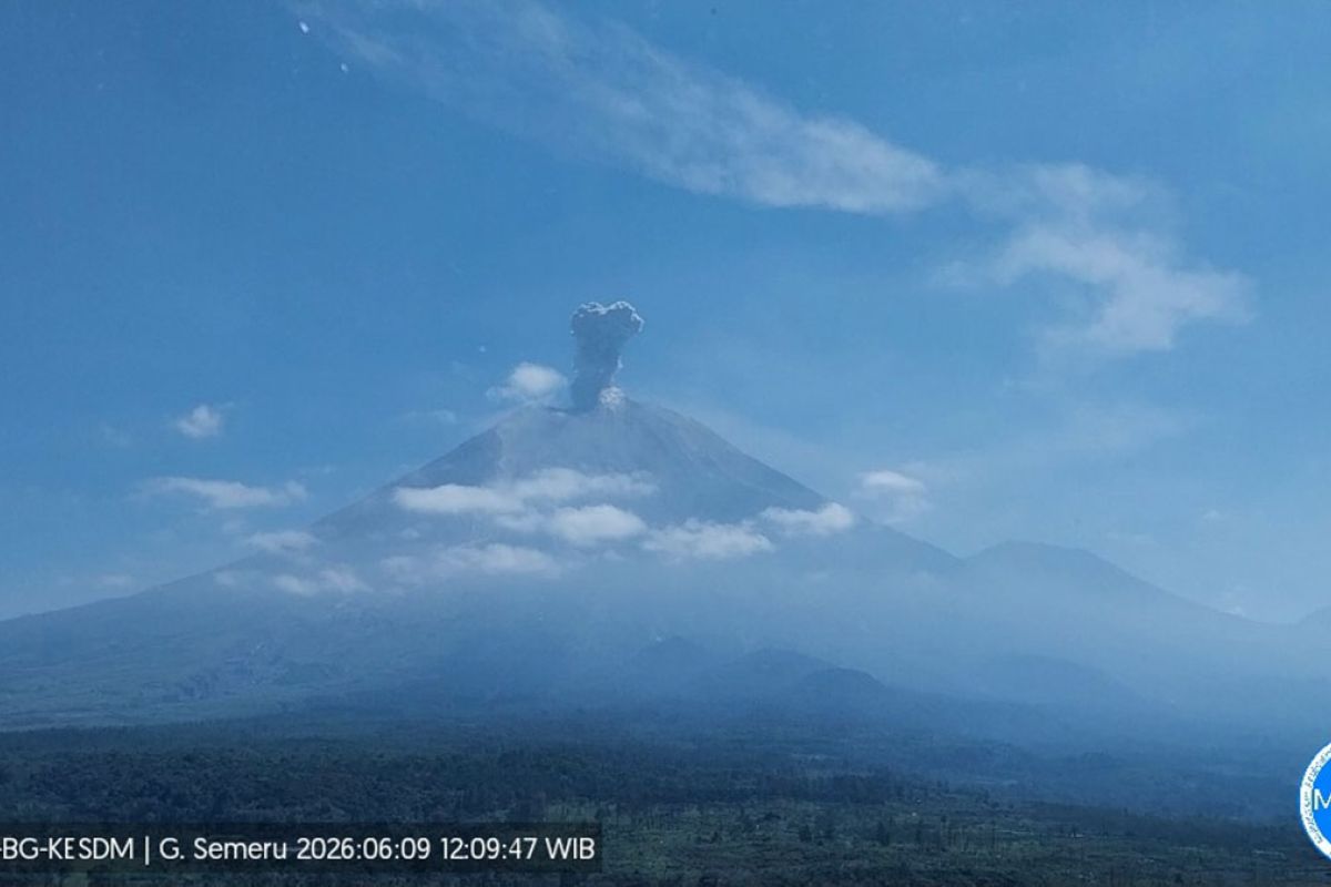
Mount Semeru, located on the border of Lumajang and Malang regencies in East Java, erupted on Tuesday afternoon, with the eruption column reaching 1.2 kilometres above the summit. The eruption occurred at 12:09 p.m. Western Indonesian Time, with the observed column height reaching approximately 4,876 metres above sea level, according to Liswanto, an officer at the Mount Semeru Observation Post. The ash column was observed to be white to grey in colour, of moderate intensity, and was drifting northeast. The eruption was still ongoing at the time of reporting. Mount Semeru erupted ten times on Tuesday between 4:43 a.m. and 12:47 p.m., with observed eruption heights ranging from 600 metres to 1,200 metres above the summit. Liswanto urged members of the public to avoid activities within a five-kilometre radius of the crater and to stay 500 metres away from riverbanks along Besuk Kobokan, due to the potential for pyroclastic flow expansion and lahars reaching up to 17 kilometres from the peak. He also warned residents to remain vigilant against the potential for pyroclastic flows, lava avalanches, and lahars along river valleys originating at the summit, particularly along Besuk Kobokan, Besuk Bang, Besuk Kembar, and Besuk Sat, as well as smaller tributaries of Besuk Kobokan.