
Mount Semeru Erupts Seven Times on Tuesday Morning, Ash Column Reaches 1.3 km
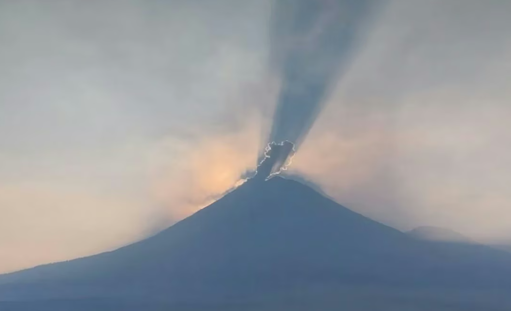
Mount Semeru, located on the border of Lumajang and Malang regencies in East Java, has again shown a significant increase in volcanic activity. On Tuesday morning, the highest mountain on Java recorded seven eruptions, with the height of the ash column reaching 1.3 kilometres above the summit.
Based on a report from the Mount Semeru Observation Post in Sumberwuluh village, Lumajang, two large eruptions with ash column heights of 1.3 km, or approximately 4,976 metres above sea level, were observed at 05.39 WIB and 09.19 WIB.
Observation post officer Sigit Rian Alfian explained that during the 05.39 WIB eruption, the ash column was observed to be white to grey with moderate intensity heading north. Meanwhile, at 09.19 WIB, the ash intensity was monitored thickening towards the northeast and east.
Amid the persistently high volcanic activity, authorities have issued strict recommendations for the public and tourists. Mount Semeru is currently at Level III (Alert) status.
The public is prohibited from conducting any activities in the southeastern sector along Besuk Kobokan, within a 13-kilometre radius from the summit. Beyond that distance, activities are also prohibited within 500 metres of the riverbank along Besuk Kobokan due to the potential expansion of pyroclastic flows and lahars up to 17 kilometres from the peak.
Sigit also urged the public to remain vigilant against the potential for pyroclastic avalanches, lava falls, and lahars along river channels originating at the summit of Mount Semeru, particularly along the Besuk Kobokan, Besuk Bang, Besuk Kembar, and Besuk Sat routes.