
Mount Semeru Erupts Seven Times in a Single Day
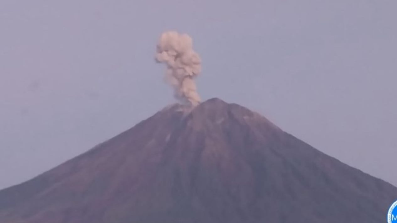
Mount Semeru, located on the border of Lumajang and Malang regencies in East Java, experienced seven eruptions over a four-hour period on Friday, 3 July 2026, with eruption heights ranging from 400 metres to 1,300 metres above the summit.
The first eruption occurred at 06.06 Western Indonesian Time (WIB), with an observed ash column reaching approximately 700 metres above the peak. The thick, grey ash column drifted southeast, and the event was recorded on a seismograph with a maximum amplitude of 22 mm and a duration of 108 seconds.
A second eruption followed at 07.22 WIB, with an ash column observed 400 metres above the summit, according to Mount Semeru Observation Post Officer Liswanto. The volcano erupted again at 07.29 WIB, sending an ash column roughly 1,100 metres high, and just minutes later at 07.58 WIB, another eruption produced a column 1,300 metres above the peak.
Further eruptions were recorded at 08.45 WIB, with an 800-metre-high column and moderate-intensity white to grey ash drifting south, and at 09.48 WIB, with another 1,300-metre column. A seventh eruption occurred at 10.18 WIB, producing a 1,000-metre ash column with moderate-intensity white to grey ash also moving south. At the time of reporting, some of these eruptions were still ongoing.
Liswanto stated that Mount Semeru’s volcanic activity remains at Level III (Alert) status. The public is advised not to conduct any activities in the southeastern sector along Besuk Kobokan, within 13 kilometres of the summit. Beyond that distance, people are warned to stay at least 500 metres from the riverbanks along Besuk Kobokan, as the area is potentially threatened by the expansion of pyroclastic flows and lahars up to 17 kilometres from the peak.