
Mount Semeru Erupts, Residents Urged to Be Alert to Pyroclastic Flows
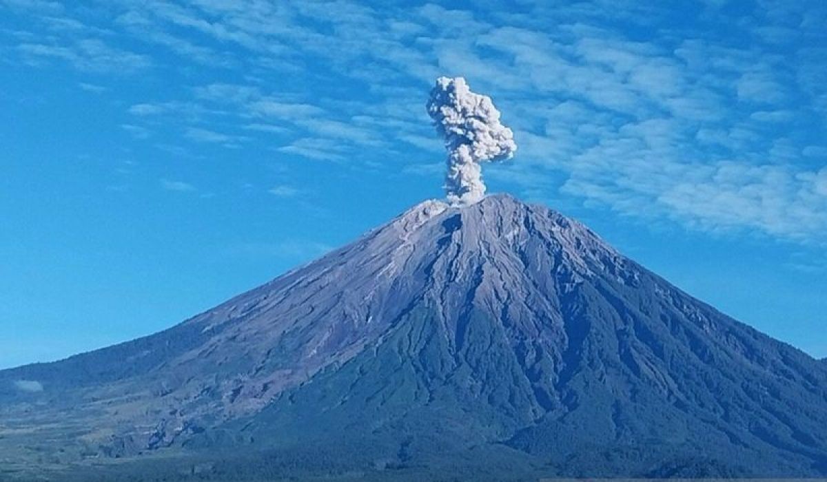
The Geological Agency under the Ministry of Energy and Mineral Resources (ESDM) has issued a warning for the public to remain vigilant for potential secondary hazards following Mount Semeru’s eruption in East Java on Tuesday (26 May) morning. Acting Head of the Geological Agency, Lana Saria, confirmed the eruption was recorded at 06:28 WIB, producing a volcanic ash column reaching approximately 1,000 metres above the peak, or about 4,676 metres above sea level. “The observed ash column was white to grey in colour with thick intensity, drifting towards the south-west and west sectors,” Saria stated in a press release from Jakarta on Tuesday (26 May). The volcano’s activity level remains at Level III (Caution), with the agency urging residents and tourists to strictly adhere to safety recommendations to prevent casualties. Residents are strictly prohibited from conducting any activities in the south-east sector along the Besuk Kobokan river within 13 kilometres of the peak (eruption centre). Beyond this distance, they are advised to avoid staying within 500 metres of the riverbanks due to risks of expanding pyroclastic flows and lahar surges that could reach up to 17 kilometres from the peak. Extra caution is also required for potential rockfall-induced pyroclastic flows, lava collapses, and flash floods along rivers originating from the mountain’s summit. The Geological Agency will continuously monitor volcanic activity and urges the public to rely solely on official communications from ESDM or PVMBG channels to avoid misinformation. Lumajang Regency plans to allocate 852 out of 1,100 vacant houses in relocation zones to residents affected by the 2025 Semeru eruption.