
Mount Semeru Erupts Four Times, Ash Column Reaches 1 Kilometre
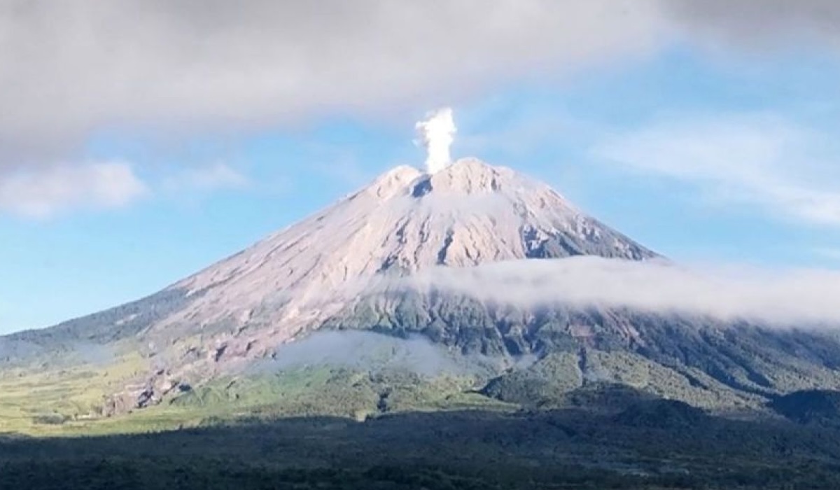
Mount Semeru, located on the border of Lumajang and Malang regencies in East Java, erupted four times on Wednesday (1/7). Observation data recorded the highest eruption column reaching 1 kilometre above the peak, or 4,676 metres above sea level.
Sigit Rian Alfian, an officer at the Mount Semeru Observation Post, detailed that the first eruption occurred at 00:52 WIB with an ash column height of 700 metres. The second eruption followed at 08:14 WIB with an 800-metre column, and the third at 09:24 WIB reached 1 kilometre. A fourth eruption was recorded shortly after at 10:10 WIB, also with a column height of 1 kilometre above the peak.
The ash column was observed to be white to grey in colour with thick intensity, drifting towards the east, southeast, and south. The volcanic activity was recorded on a seismograph with a maximum amplitude ranging between 14 mm and 22 mm.
Head of the Lumajang Regional Disaster Management Agency (BPBD), Isnugroho, stated that there have been no reports of impacts from the ashfall on residential areas. However, he urged the public to remain vigilant and comply with safety recommendations.
Mount Semeru remains at Level III (Alert) status. The public is prohibited from conducting any activities in the southeastern sector along Besuk Kobokan, within a 13-kilometre radius from the summit. The BPBD also warned of potential pyroclastic flows, lava avalanches, and lahars along river channels originating from Semeru’s peak, particularly Besuk Kobokan, Besuk Bang, Besuk Kembar, and Besuk Sat.