
Mount Semeru Erupts Eight Times in Six Hours, Ash Column Reaches 1.2 km
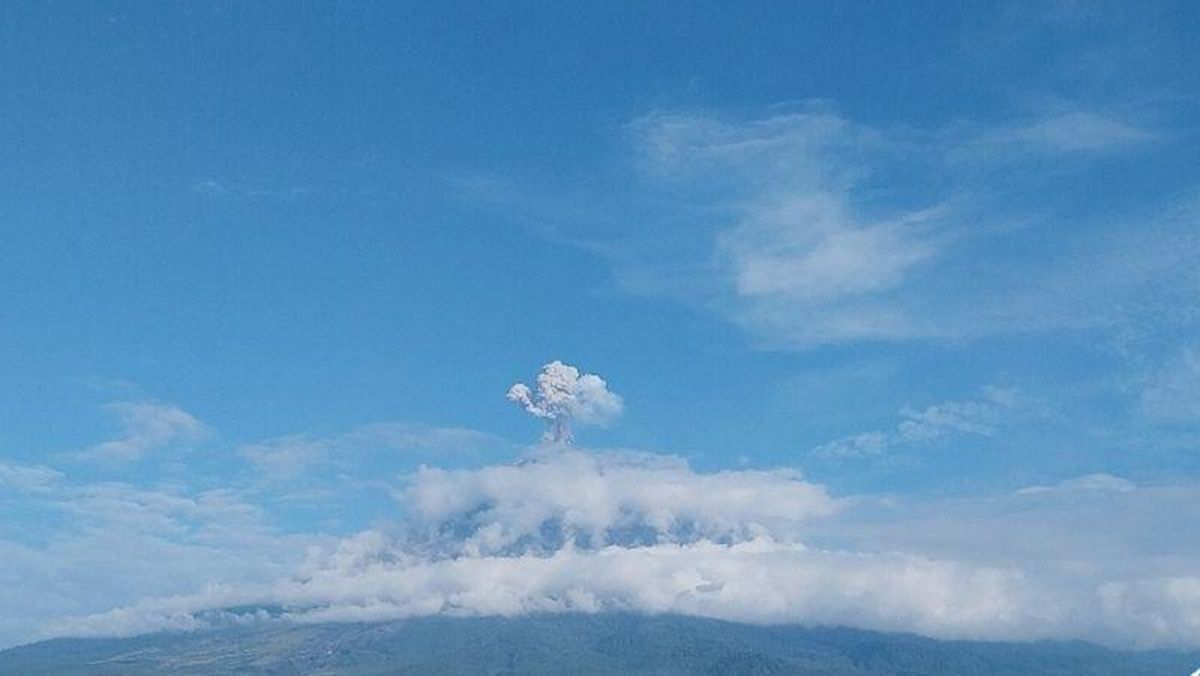
Mount Semeru (3,676 metres above sea level) in East Java recorded eight eruptions over a six-hour period on Friday morning, with the highest eruption column reaching 1.2 kilometres. The first eruption occurred at 00.24 Western Indonesian Time (WIB), though the visual eruption was not observed and was still ongoing when the report was made.
The second eruption took place at 01.13 WIB, with an observed eruption column height of approximately 700 metres above the summit, according to Liswanto, an officer at the Mount Semeru Observation Post, in a written report received in Lumajang. The third, fourth, and fifth eruptions occurred at 01.24 WIB with a column height of 600 metres above the peak, and then at 04.38 WIB and 04.57 WIB, where the visual eruptions were not observed.
Mount Semeru erupted again at 05.15 WIB, with the eruption column observed reaching around 1.2 kilometres above the summit, or 4,876 metres above sea level. The ash column was observed to be white to grey in colour with moderate intensity, drifting southwards. The eruption was still in progress when the report was compiled. Shortly after, another eruption occurred at 05.25 WIB, with an observed column height of 800 metres above the peak and an ash column of white to grey colour with moderate intensity moving south. The eighth eruption happened at 05.40 WIB, with an observed column height of 700 metres above the summit and a white to grey ash column of moderate intensity heading south. The eruption of Mount Semeru was still ongoing at the time of reporting.
Liswanto explained that the volcanic activity of Mount Semeru is currently at Status Level III (Alert). The recommendation is for the public not to conduct any activities in the southeastern sector along Besuk Kobokan, as far as 13 kilometres from the peak. Beyond that distance, the public is advised against activities within 500 metres of the riverbank along Besuk Kobokan, due to the potential for being affected by the expansion of pyroclastic flows and lahars up to a distance of 17 kilometres from the summit. The public is prohibited from activities within a five-kilometre radius of the crater or peak of Mount Semeru due to the danger of ejected incandescent rocks. He urged the public to be aware of the potential for pyroclastic flows, lava avalanches, and lahars along the river channels and valleys originating at the peak of Mount Semeru, particularly along Besuk Kobokan, Besuk Bang, Besuk Kembar, and Besuk Sat, as well as the potential for lahars in small streams that are tributaries of Besuk Kobokan.